Miss the first part of the adventure? Check out blog posts one and two:
A Death Valley Spring Part 1 - Echo Canyon
A Death Valley Spring Part 2 - Troubles in Titus
Day 5 (Continued)
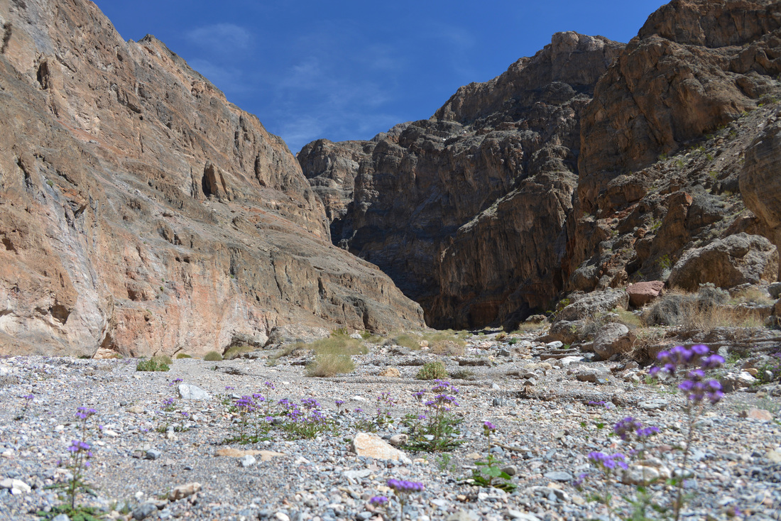
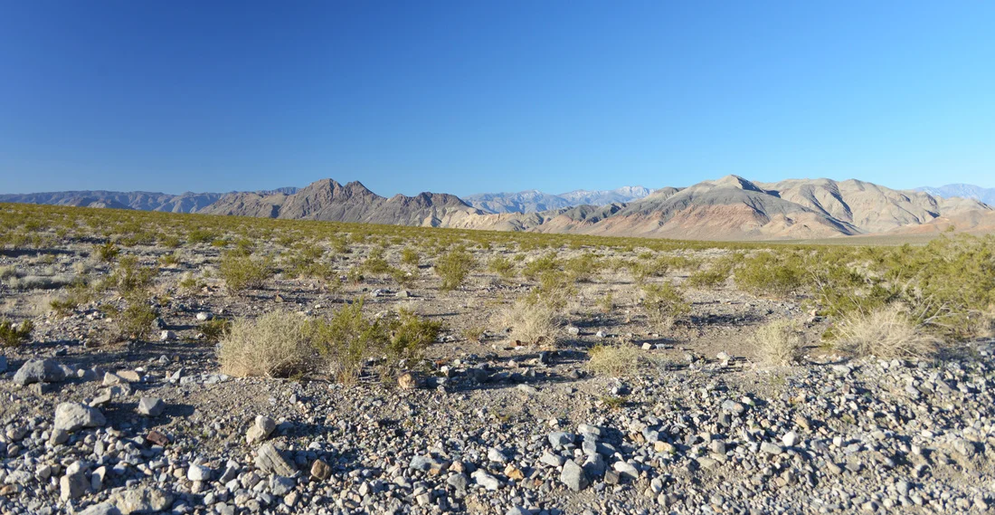
After our morning exploration of the lower reaches of Cottonwood Canyon, we returned to the scene of the previous day's adventures and rolled into the parking lot at the west end of Titus Canyon. Unable to find a parking spot in the small gravel lot, we pulled in at the end of the line of overflow cars along the access road and set about preparing for the hike. Sunscreen was applied, hiking boots were donned, sandwiches and snacks were packed, and water bottles were topped off. A hikers trail leads from the parking lot to the mouth of the canyon, first cutting across the mid section of several small alluvial fans before climbing up a small drainage to the edge of a steep embankment above the wash of Fall Canyon. Although a short walk, the exposed south-west facing rock slopes combined with the mid day sun soon had us sweating, and the steep scramble down into the wash of Fall Canyon was met with expectations of shade and a pleasant canyon to come. Gaining the bottom of the wash we struck out up the canyon, the rock walls slowly converging on us and gaining in height as we wandered further into the chasm of the canyon mouth. After navigating the first couple bends of the canyon we found ourselves face to face with a large recessed alcove in the wall of the canyon. The shady sand benches carved out at the base of the rock looked like a perfect place for a lunch stop, so we found a nice seating area in the shade and dove into our sandwiches and chips.
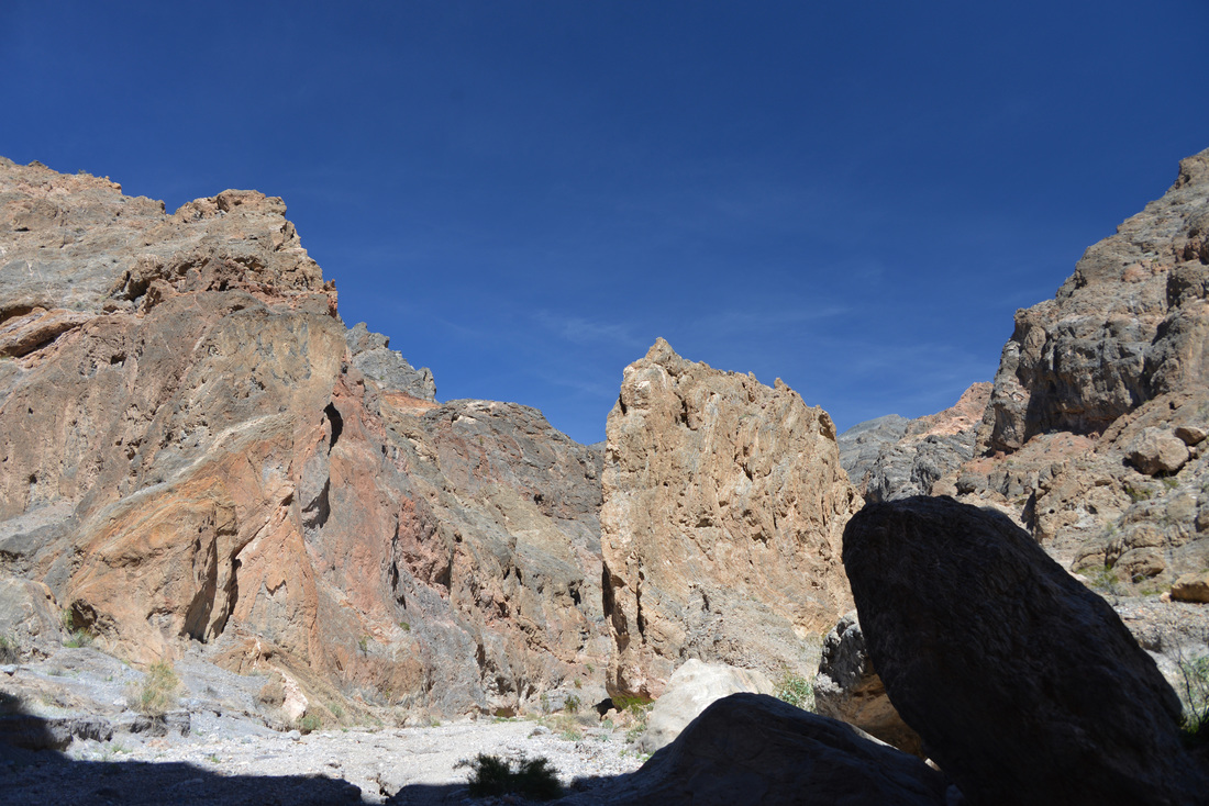
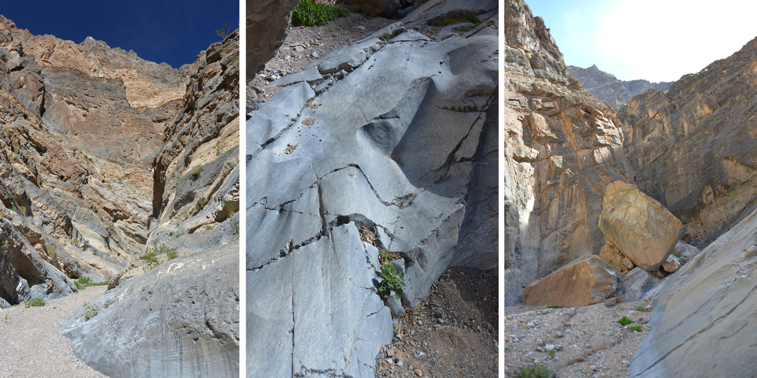
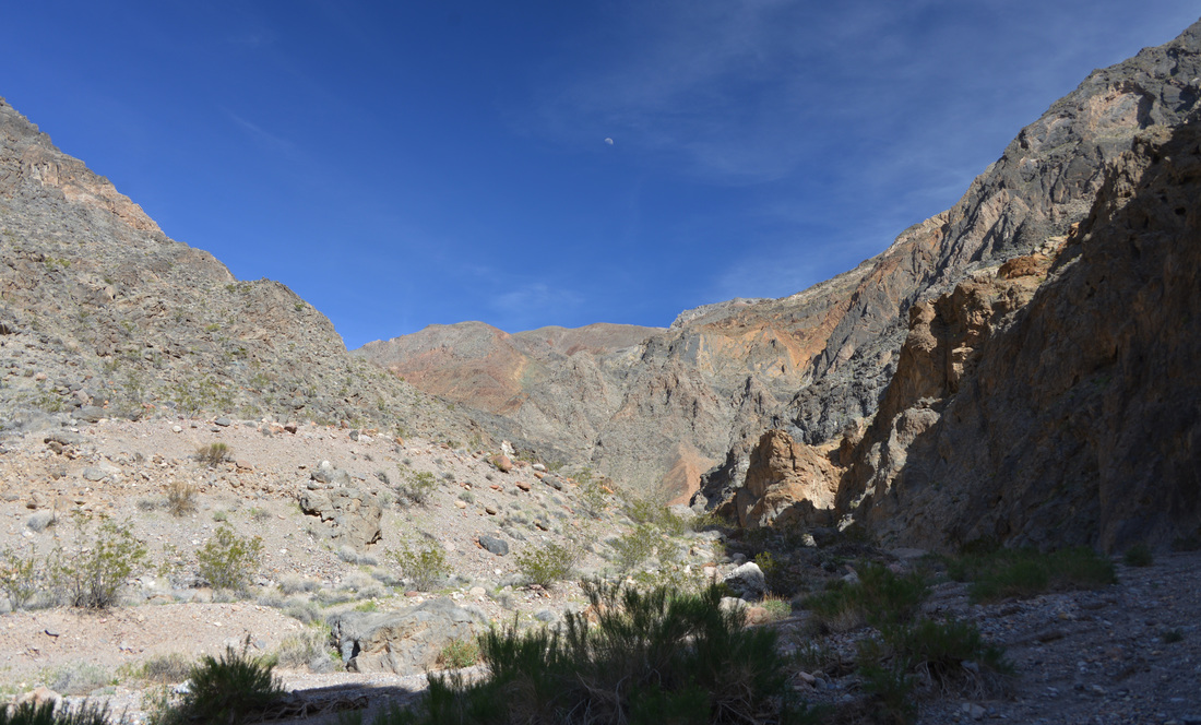
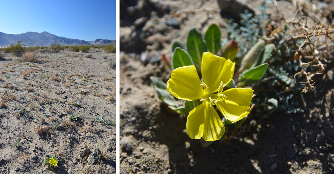
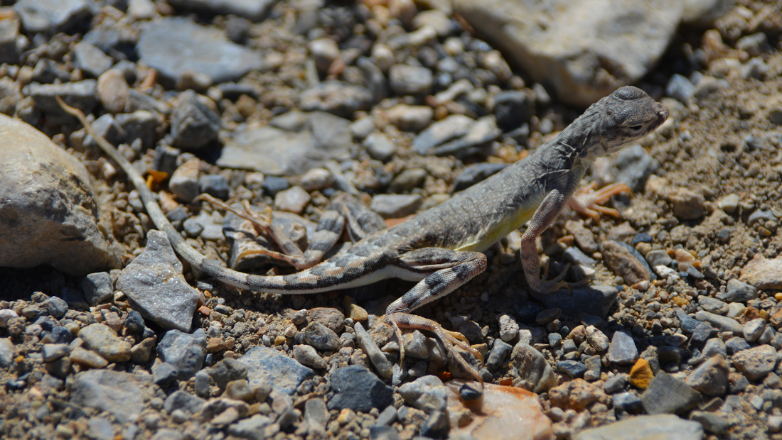
Our lunch stop proved to be an exceedingly pleasant one and we lingered in the shade as we finished our lunches, relaxed, and checked out the guidebook to get an idea of what Fall Canyon had in store for us. Once we were refueled and prepared for the hike, we reluctantly left the shady comfort of our alcove and continued on into the mountain. The lower portion of the canyon presented us with towering walls alternating between cool shade and intense sunshine. The gravely wash was speckled with the purples, yellows, and whites of wild flowers, and the hiking was pleasant as we worked our way through the labyrinth of towering bends. After about 2.5 miles we reached a small side canyon entering from the left, dwarfed by an enormous boulder towering in the middle of the large amphitheater formed by the confluence of the two canyons. The side canyon begged for a quick exploration and we were only too happy to oblige. We wandered up the narrow canyon a couple hundred yards until progress was stopped by a roughly 20 foot dry fall. Not wanting to disturb the hiker lounging in the shade, we admired the fall from a distance before returning to the main canyon. The next mile or so passed in much the same way as the previous reaches of the canyon, and before long we found ourselves face to face with the 25 foot dry fall that gives Fall Canyon its name. This cliff would be daunting to all but super-humans with gecko suction powers, but fortunately a bypass requiring only a short scramble is situated just down canyon. Having heard rave reviews of the narrows above the fall, we scrambled up to the bypass and soon regained the bottom of the wash past the stony obstacle.
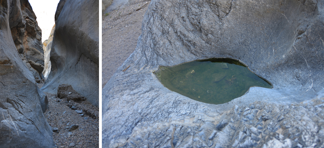
We were not disappointed. The canyon above the dry fall boasts the most impressive narrows we saw on the trip and we were left in awe by the smooth, narrow, undulating walls of the canyon. Maybe it's due to my upbringing in the mountains of the north, away from the slot canyons and slick rocks of the southern deserts, but there is something magical about these places. No matter how many times I explore them, they always manage to surprise me around every corner and leave me wanting more! The next mile and a half of the canyon passed much to quickly and after what seemed like only a matter of minutes we were exiting the final narrows. By this time the afternoon was rapidly expiring and we had seen only one other hiker after exiting the narrows. Figuring we had gone a solid five miles up the canyon, we resolved to find a nice shady alcove to rest our legs before turning around and retracing our steps back to the truck.


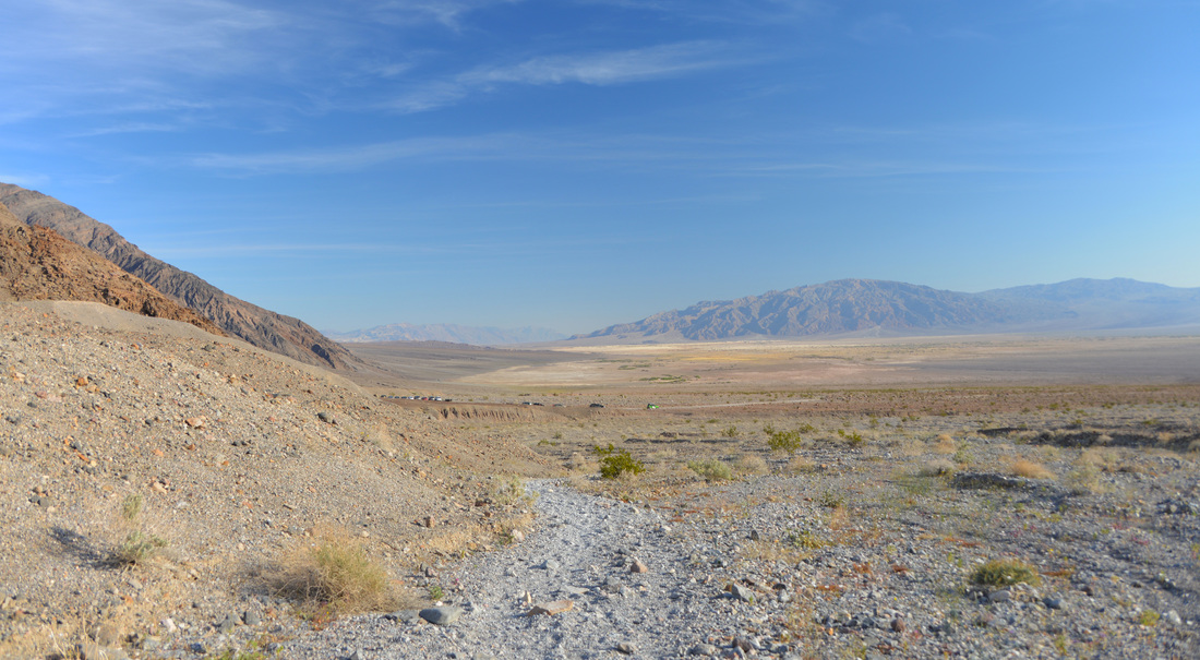
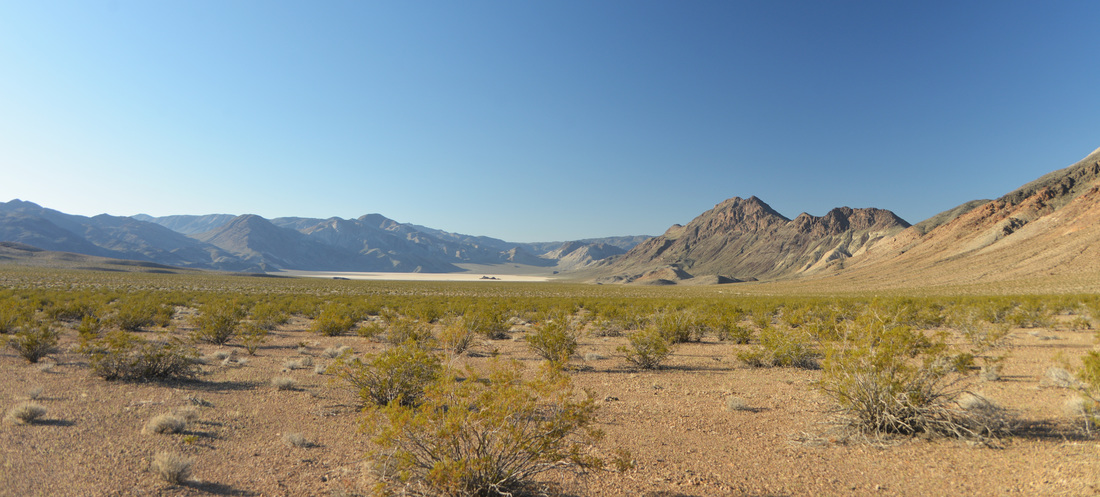
The hike back down the canyon was a peaceful and relaxing affair. Late afternoon sunlight played across the lofty walls and only occasionally were we sharing the trail with other hikers. Exiting the canyon we found ourselves back on the hot, dry slopes which we had traversed earlier in the day, and, after passing the Asian Disco Party working their way along the trail, party music included, we arrived back at the truck and relieved ourselves of our packs and hiking boots. The setting sun bathed the mountain peaks as we cruised north along the highway to the Grapevine Ranger Station where we took the road to Ubehebe Crater and the Racetrack, once again leaving the pavement in favor of a dusty dirt path. The Racetrack Road led us into a broad mountain valley as it climbed its way towards a low pass crowned with a Joshua Tree forest. Dusk overcame us as we began to descend the pass, turning the Joshua Trees into ghostly figures with groping arms outstretched in convoluted positions. The dimming light began to hide the severe washboard of the road, and progress slowed as vision was obscured and tiredness set in. We had been hoping to camp somewhere along the Racetrack Road, but no camp sites had presented themselves and we were becoming increasingly anxious to find our home for the night when the decorated sign of Teakettle Junction ventured into the beams of our headlights. Since camping is prohibited between Teakettle Junction and the end of the Racetrack our best option for a quick campsite seemed to lie up the Hidden Valley Road. Our patience was rewarded when we entered the dark shadows of the mountains and a perfect camping pullout presented itself on the side of the road at the foot of a scrubby mountain side. We gratefully parked the truck and soon were devouring dinner under the bright moonlight.


Day 6
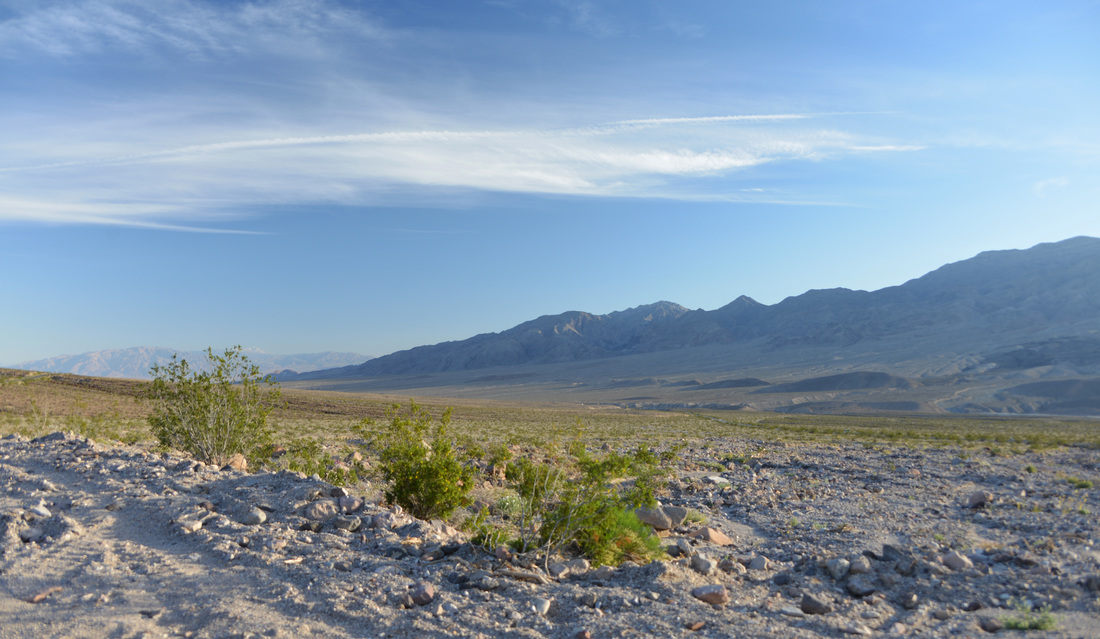
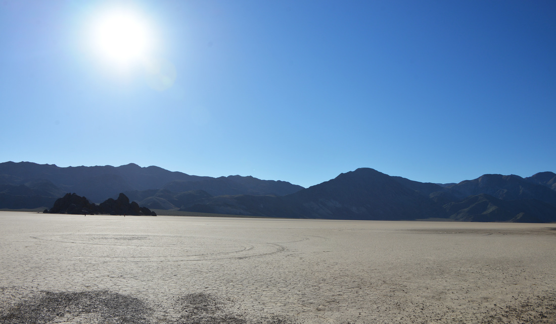
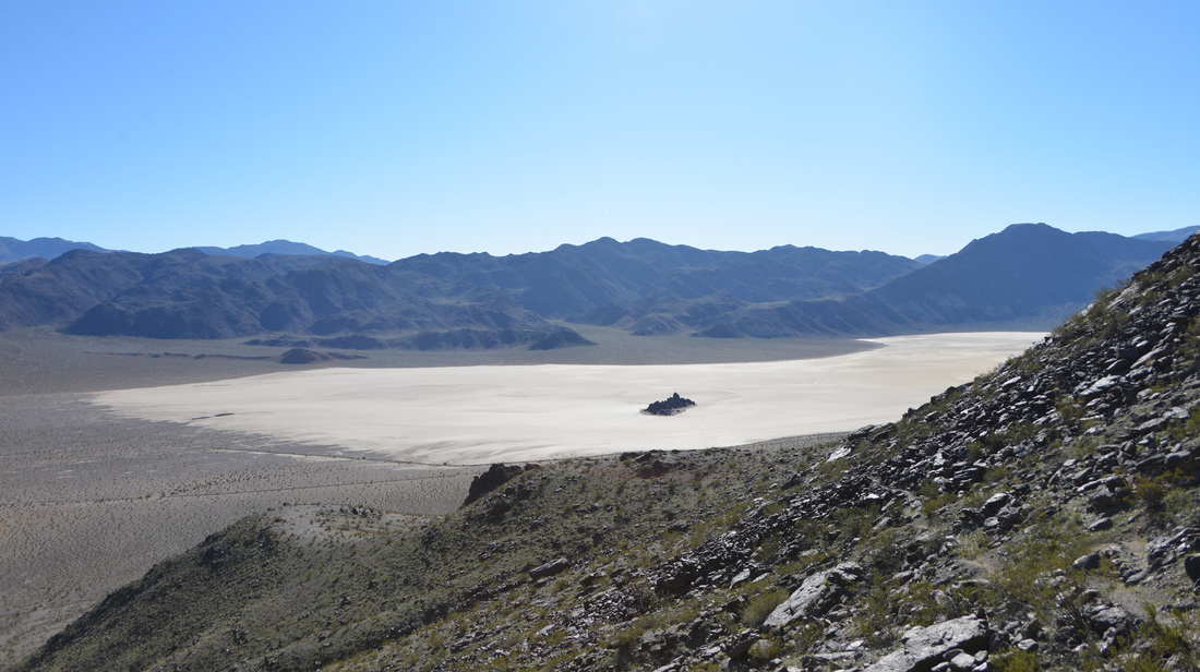
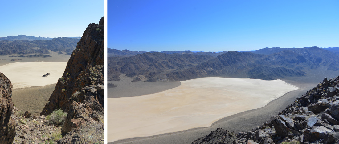
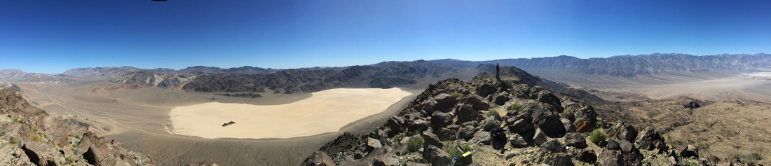
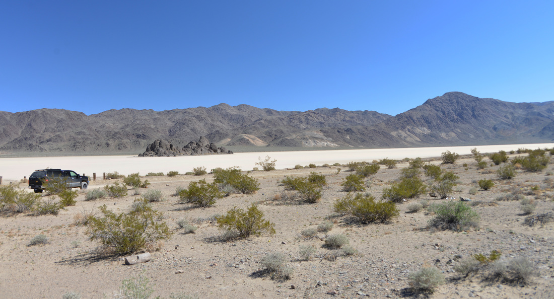
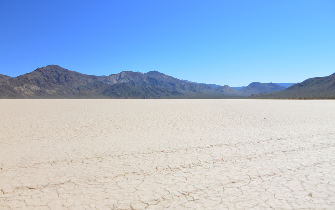
We arose the next morning as the first gray light began to illuminate the recesses of the canyon. Crawling out of the back of the truck we were greeted by a bitingly cool breeze drifting down the wash. Wanting to get an early start for our hike up Ubehebe peak, we took our cue from the wind and quickly packed up camp and hit the road. Munching on cereal and granola bars, we bounced along the washboard as the sun rose above the dry lake bed known as the Racetrack. Finally we reached the parking area for the Grandstand, a dark monolith of rock jutting eerily from the playa, and parked the truck to begin our exploration. After a quick investigation of the racetrack we put on our hiking boots, packed lunch, and set off up the trail.
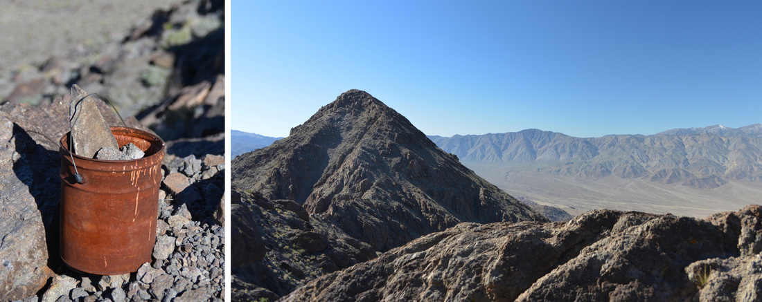
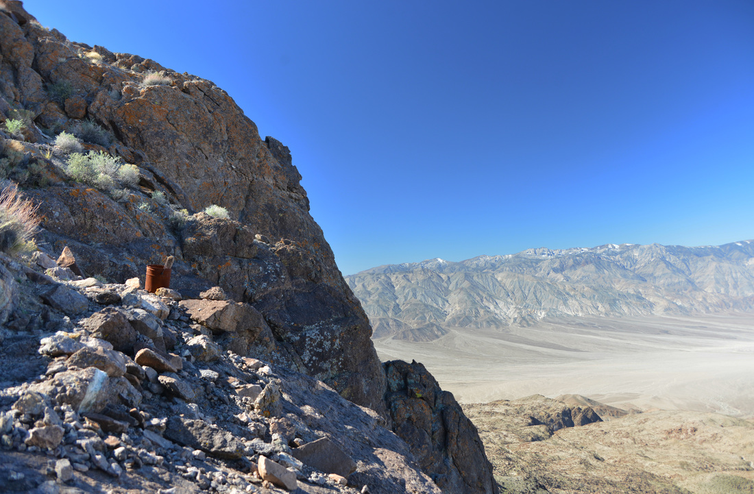
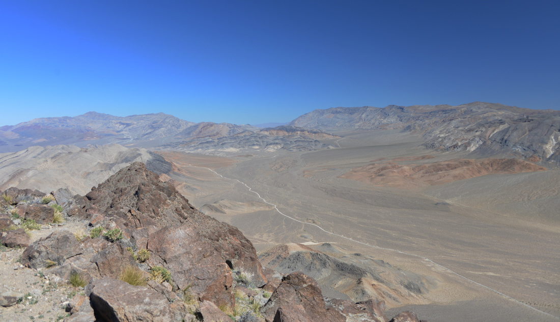
The route up Ubehebe peak is one of the few hikes in Death Valley National Park that boasts a traditional trail. The old path carved into the mountain side by determined miners once served as a pack route by which burros transported ore down from the mines perched in the gullies of Ubehebe Peak. The mines have long since been abandoned and the mule trains are but a distant memory, but the determination of the hearty people who called this place their office is astonishing. The challenges with mining and surviving in such a remote and unforgiving environment boggle the mind. Climbing the switchbacks up to the pass in the early morning light, we pondered those who had pioneered the trail and admired the striking views of the Racetrack and the broad valley we had driven through. From the first pass the trail took us over the smaller peak just north of the main summit before, much to our dismay, dropping us back down the elevation we had just climbed into the saddle below Ubehebe peak. The last push to the summit is devoid of trail, and hikers are left to find their own route through the sharp and rugged rock of the mountain side. A faint hikers trail can be seen at times, aided by a few scant cairns, but a good route finding eye and a willingness for mild scrambling are a must to conquer this last stretch.
A little before noon I finally crested the final boulders and found myself on top of the world! Well, at least on top of the 5,678 foot tip of Ubehebe peak... The idea of climbing a mountain peak less than 1000 feet higher than that of my house felt a little funny, but the elevation ascended and the views from the top made it seem like I was standing on any of the 8000+ foot peaks back home. Ashley joined me on top a few minutes later and we marveled in the views of the Racetrack, Saline Valley, and the surrounding mountains towering in the distance. We spent about an hour on top of the peak enjoying the fruits of our toils, soaking in the mid day sun while enjoying our lunches and the breathtaking scenery.


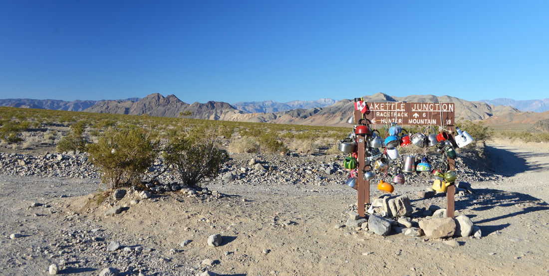
Teakettle Junction with Ubehebe Peak in the background on the left side.

Nestled among the teakettles was a single hiking boot which looked out of place, and kind of new to be abandoned. Upon closer inspection the writing along the side revealed a mischievous coyote had absconded with the right one...


Unfortunately, we couldn't revel on the top of Ubehebe peak forever, and early afternoon saw us covering the last few paces back to the trail head. Tired and hot from our hike, we set up the camp chairs in the shade of the truck and let our feet breathe freely in the desert air. We had been planning on walking out to the Grandstand after the hike, but the midday sun beating down on the dry playa looked particularly menacing after our morning exertions so we decided to climb back in the truck and begin our journey back to the pavement.
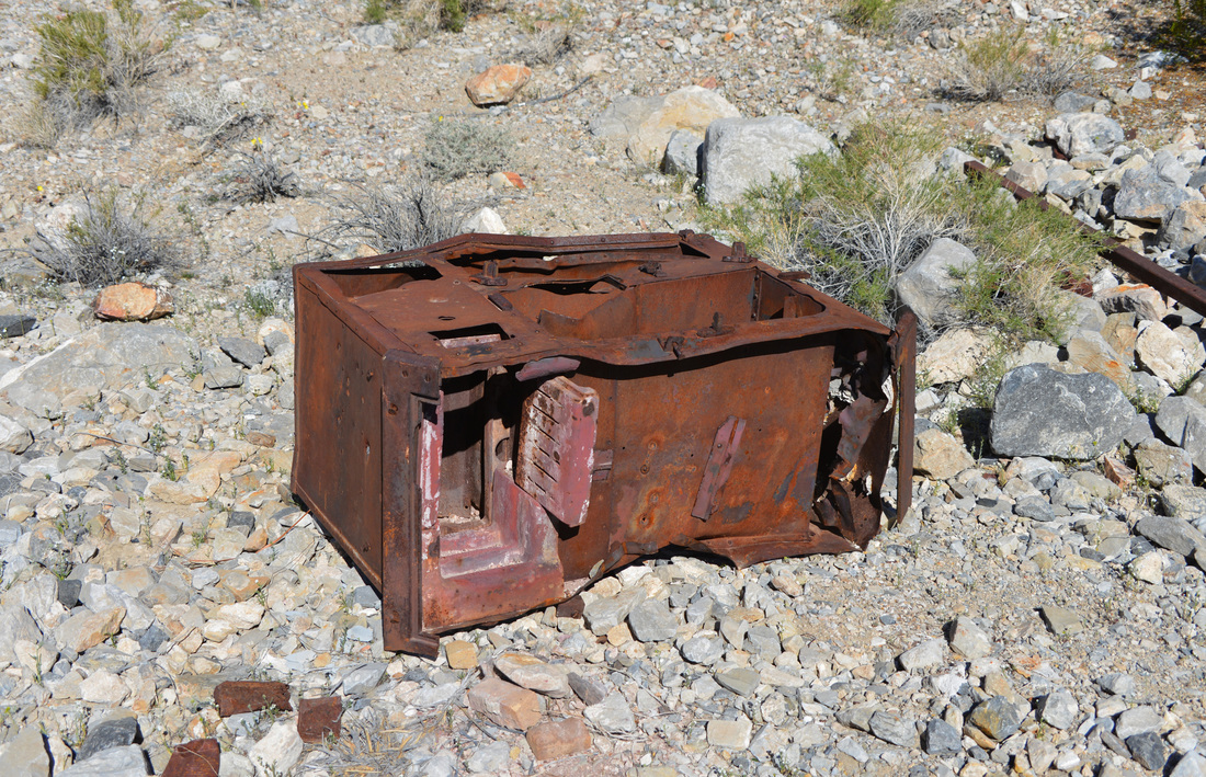
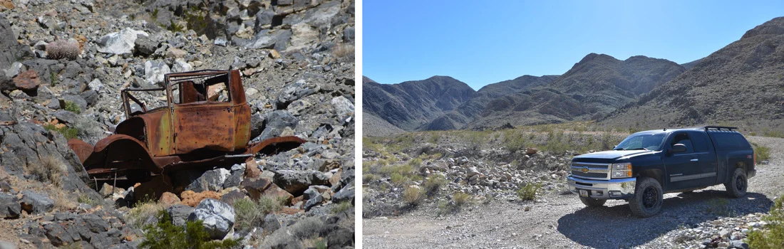
Since the afternoon was still young we had plenty of time for a couple sight seeing stops along the way. First up was a quick side trip to the Ubehebe Mine, located down a short spur road just south of Teakettle Junction. The Ubehebe Mine originated as a copper mine before transitioning to one of Death Valley's most productive lead-silver mines in the mid 1920s. The mine was opened around 1900 and by 1908 had a 25 foot tunnel that had produced promising results. The mine was dormant for a few years before restarting around 1915 with an increase in led prices. It was then intermittently active until the mid 1920s when the mine hit its peak production. The shipment of 258 tons of high-grade ore in 1928 marked the height of production for the area, and although the mine operated off and on until 1968 it never came close to reaching that mark again. If you are interested in a deeper history of this mine, or any of the locations referenced in these stories, check out Hiking Death Valley by Michel Diconnet for a wealth of reading! Today, the remnants of the mine consist of the earth workings and structure of the aerial tramway sprinkled with a few collapsing structures. We spent a half hour exploring the relics of a past time, pondering over the ruins that had held the hopes and dreams of the many men who had worked this claim.


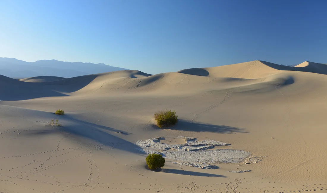
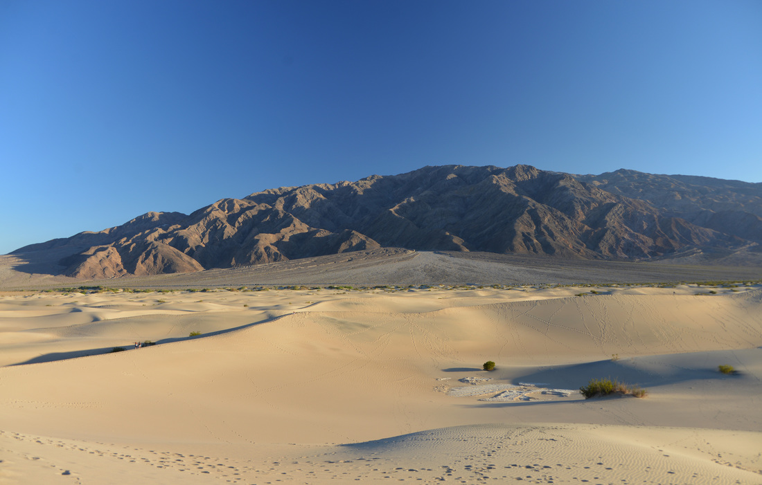
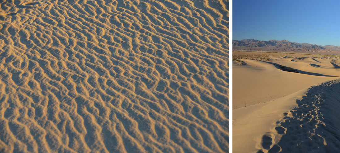
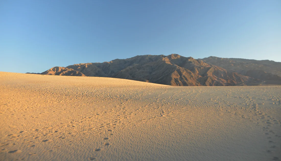
After getting in our old mine fix, we returned down the Racetrack Road, through the Joshua Tree forest, and finally left the washboard in favor of the smooth asphalt at Ubehebe Crater. Taking advantage of the Crater's parking area, we indulged in a needed break to stretch our legs and take a peak into the depths of the volcanic scar before turning our attention back south towards Stovepipe Wells and the sand dunes at Mesquite Flat. The Mesquite Flat Sand Dunes are the most frequently visited sand dunes in the park as they are conveniently located right by the main highway running west from Stovepipe Wells. It just so happened that this was the same highway that we needed to take to reach Panamint Springs for our evening camp, so a sunset walk out on the sandy mountains was in order. As a small child many years ago I had enjoyed a solitary sunset dinner during a family trip at these very same dunes. Those days are long past and this time we found ourselves jostling for a parking spot before joining the crowds infiltrating the recesses of the sand dunes. Luckily, it is easy to spread out over this barren landscape and we were able to find a secluded path up to the tallest dune while the evening sunlight painted the sand a beautiful hue of gold.
Tired and satisfied after a long day's adventure, we returned to the truck and headed over the mountains into Panamint Valley. The Panamint Springs development is as relaxed as you are likely to find in a National Park, and the local, down to earth flavor is refreshing after fighting crowds at the other visitor centers and popular attractions. It was dark when we backed into the roadside parking in front of the restaurant, and we gladly exchanged our seats in the truck for chairs on the patio in the comfortable evening air. The rest of the night was spent enjoying cold beer and cheeseburgers before driving out to the Lake Hill road where we camped for the night. Finally crawling into bed, we reminisced at the adventures we had enjoyed thus far, and looked forward with anticipation to the trip's final hike the coming day.