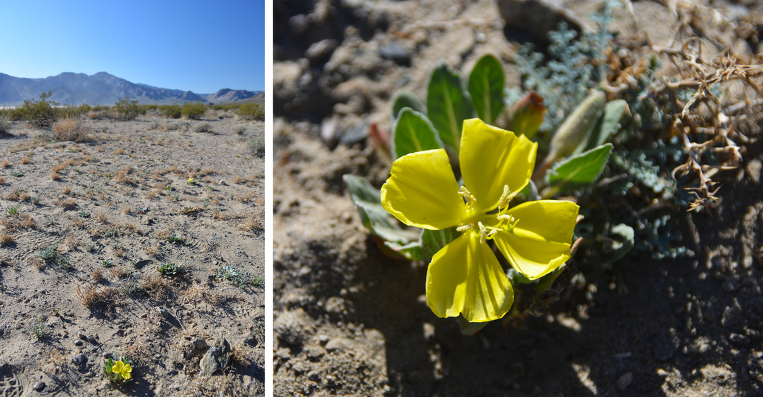
Miss the first part of the adventure? Check out the first three blog posts below:
A Death Valley Spring Part 1 - Echo Canyon
A Death Valley Spring Part 2 - Troubles in Titus
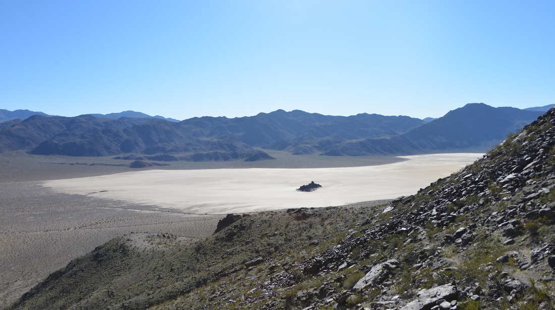
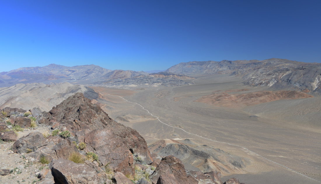
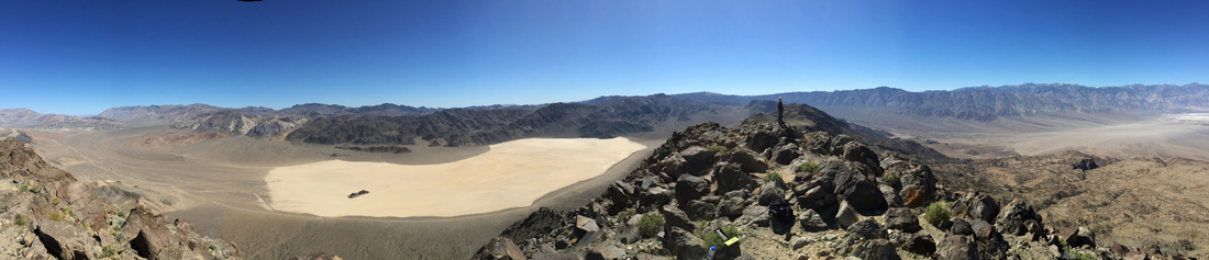
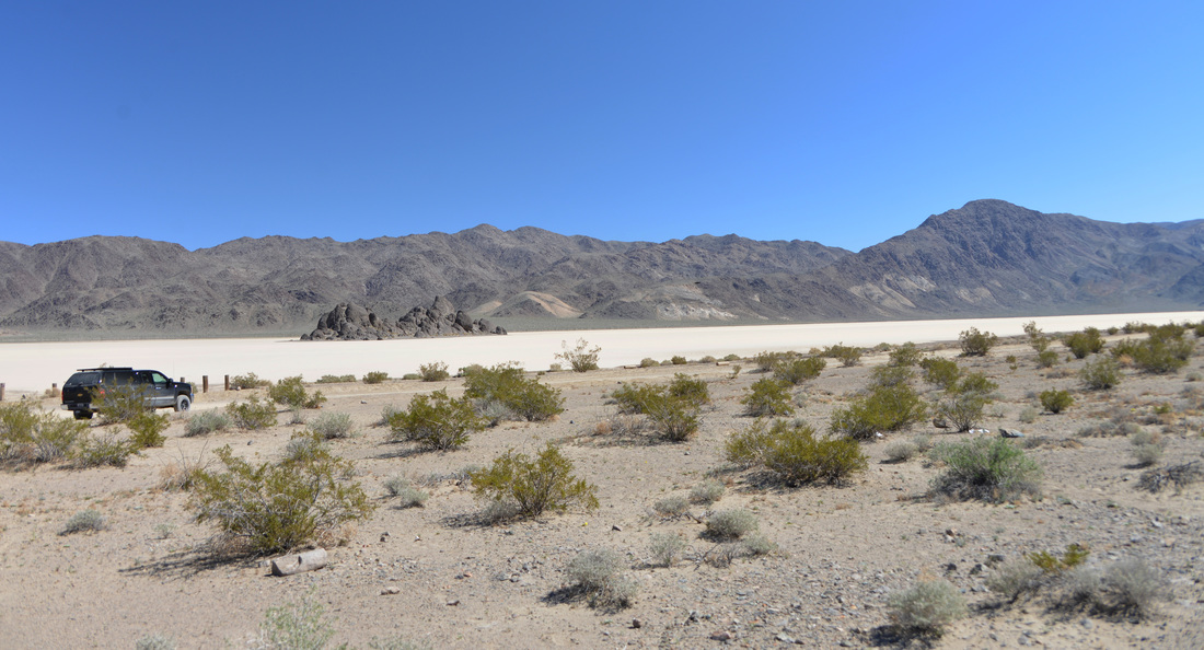
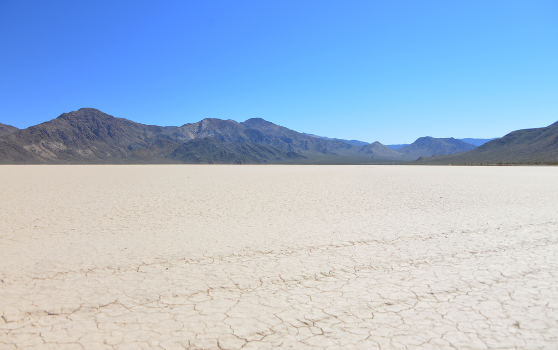
A Death Valley Spring Part 3 - The Racetrack
Day 7
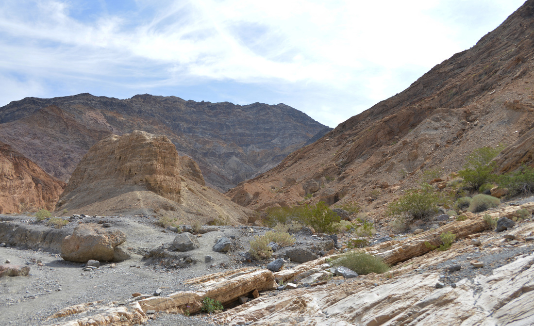
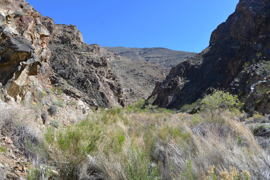
Friday, our last day of adventure before we had to pack up shop and embark on the long drive back to Montana. The impending end of the trip was uncomfortable to swallow, but the anticipation of the hike ahead quickly pushed those thoughts out of our heads as we turned south down Panamint Valley towards Surprise Canyon. This was the first hike that I had found during my research of the area and the descriptions of the uncommonly lush creek bottom and waterfalls had captured our imagination and had placed this day on the top of our to-do list. The hike to Panamint City through Surprise Canyon starts outside of the park in the BLM's Surprise Canyon Wilderness Area and only the remains of the city and about a third of the hike reside within the boundaries of Death Valley National park. Somewhat strangely, there was no mention of the hike in our guide book, and all we had been able to glean of the trek were conflicting distance estimates and foreboding descriptions of the difficulty of this expedition.
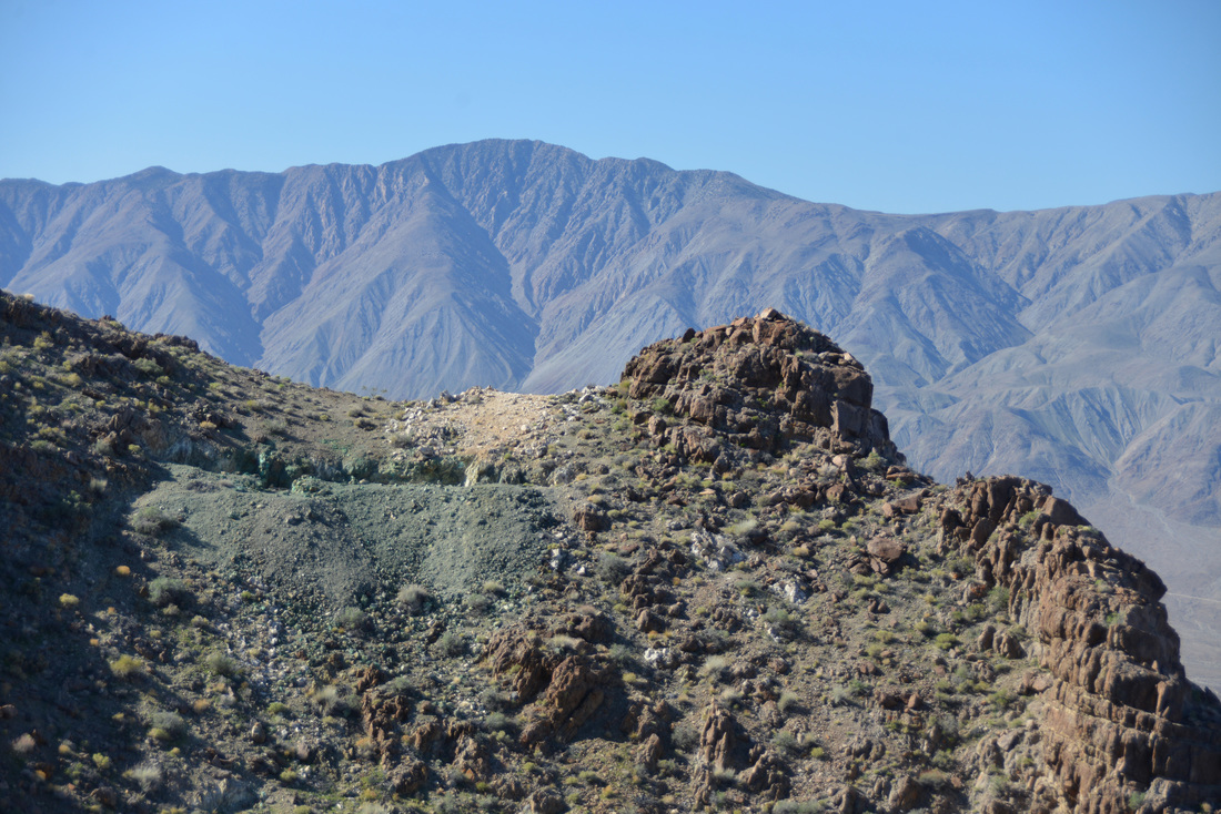
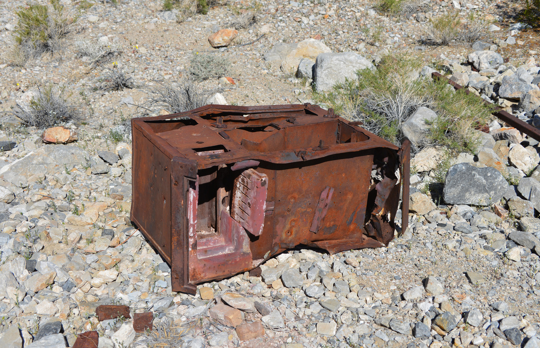
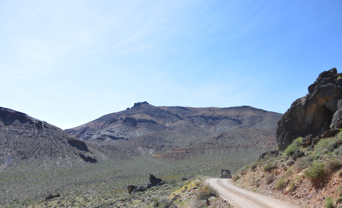
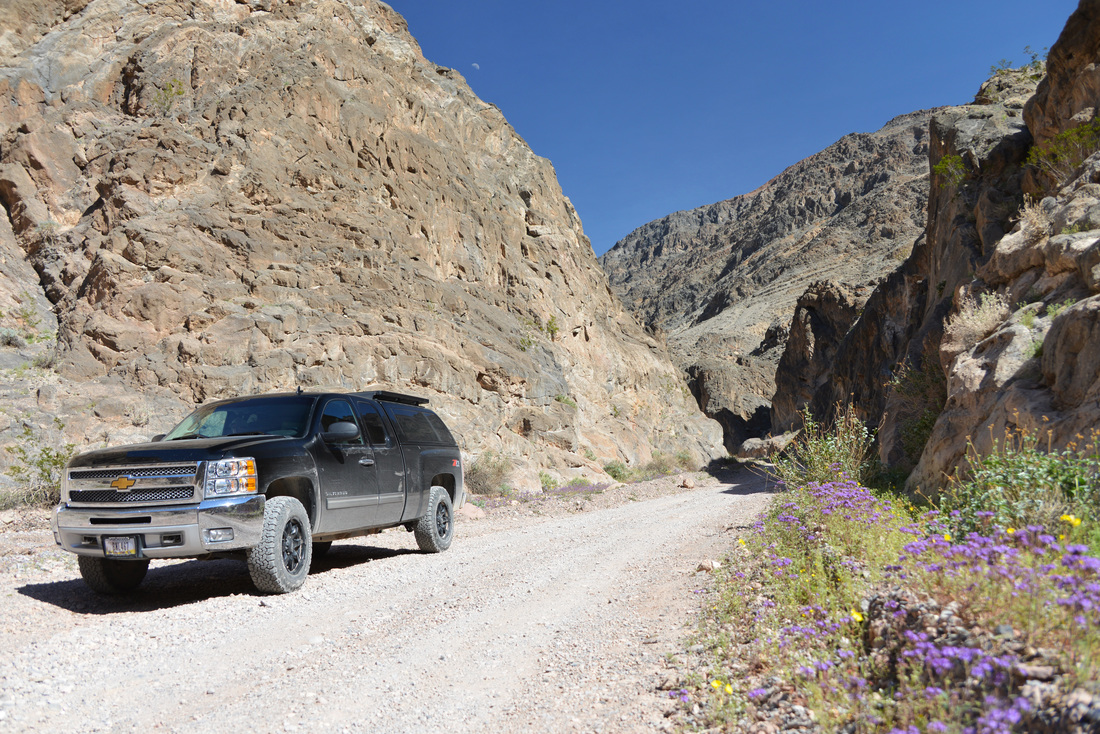
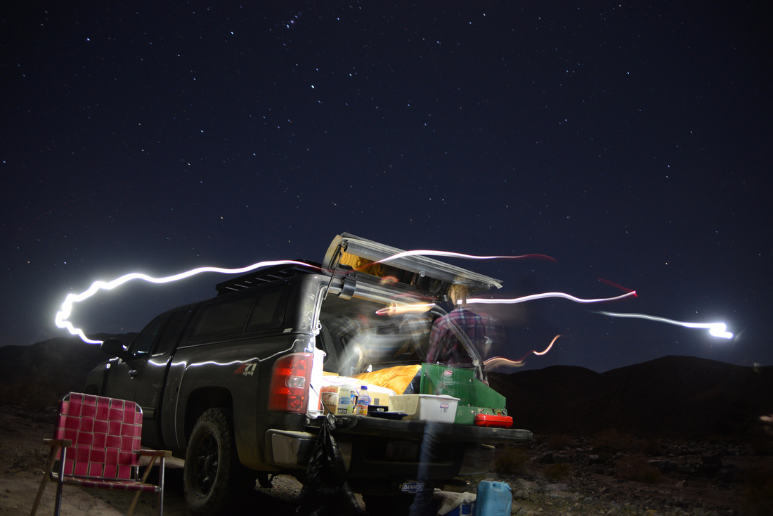
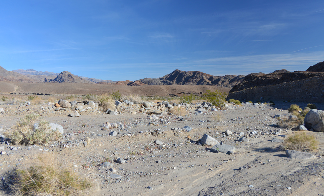
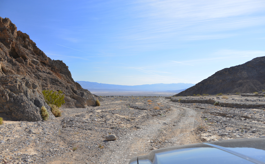
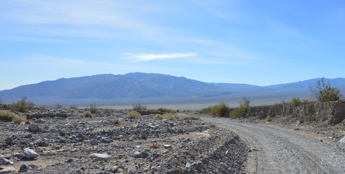
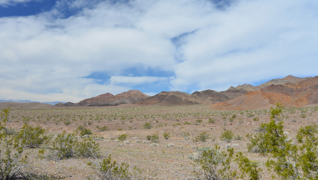
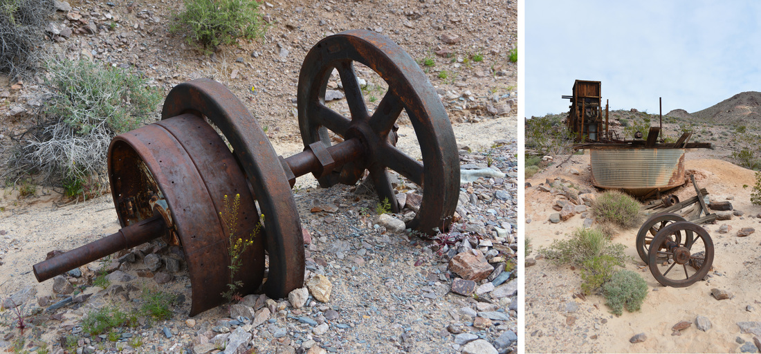
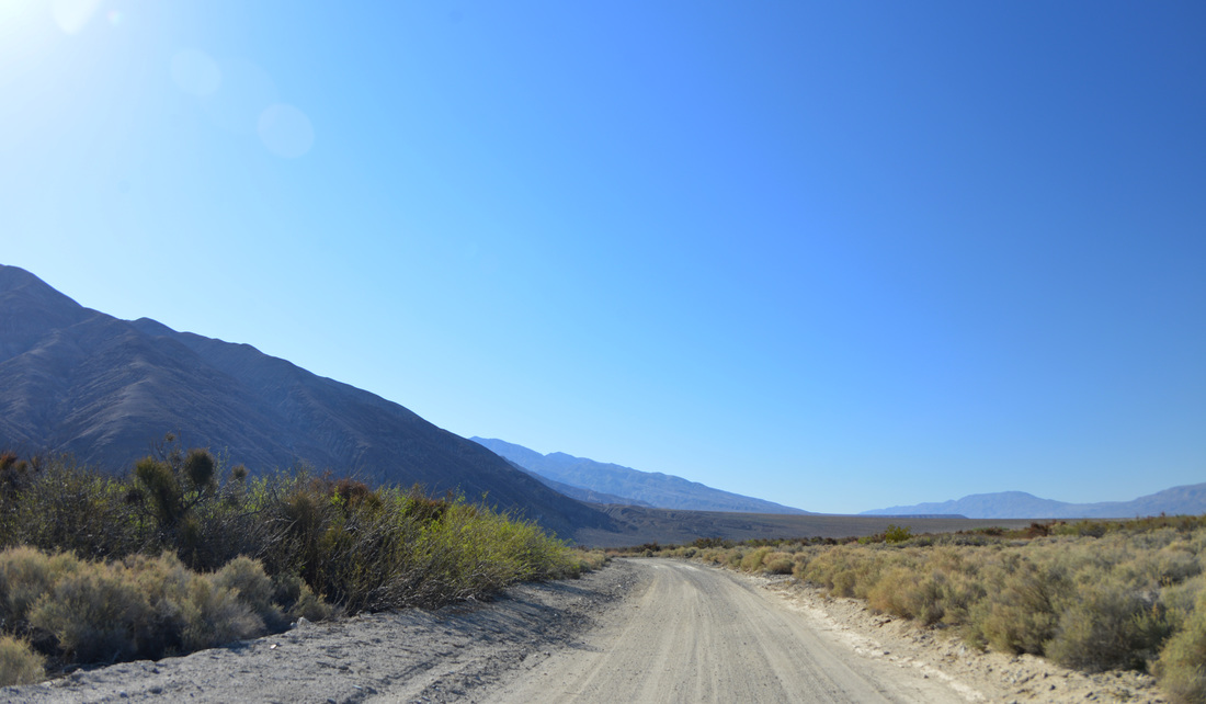
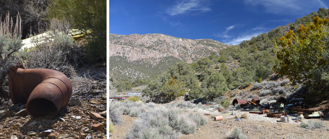
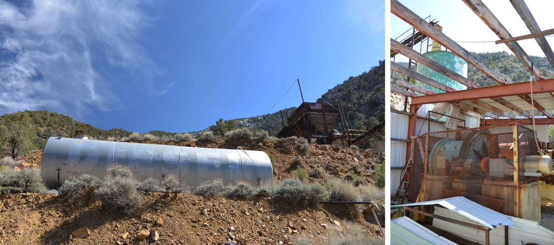
The dirt back road took us along the base of the Panamint Mountains through scrubby desert foothills and around barren traces of ponds as Naval fighter planes cavorted above us. The road up the lower reaches of Surprise Canyon was a pleasant drive and we were soon pulling into the parking lot next to the ruins of the Chris Wicht Camp. This was once a mining camp and mill site but it burned down in the recent past, leaving behind only the concrete and rock skeletons of structures and discarded mining equipment. We took a few minutes to wander the ruins and explore the old buildings and rock walls before gearing up for the hike. After loading the day's rations into our packs and lacing up our hiking boots, we set out up the wash into the unknown of Surprise Canyon.
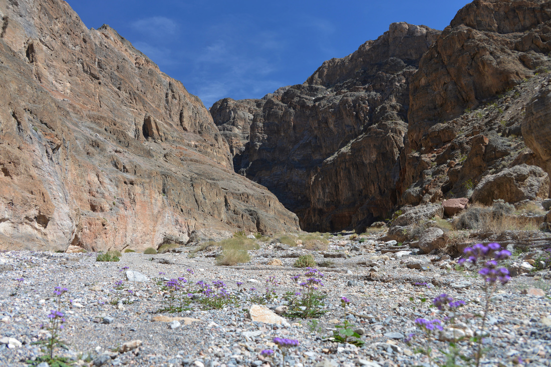
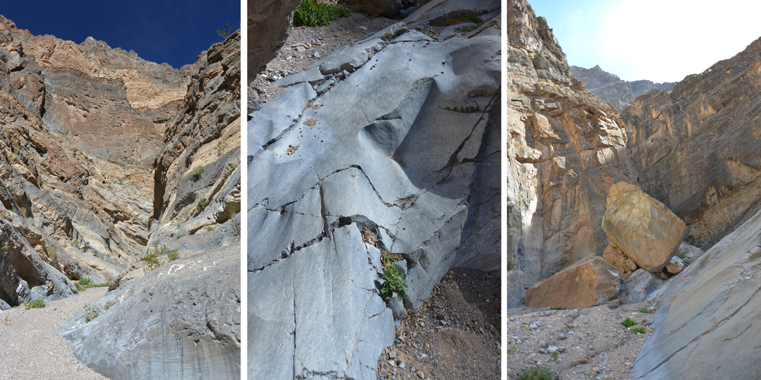
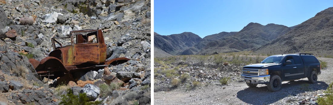
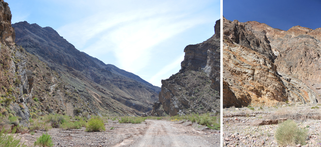
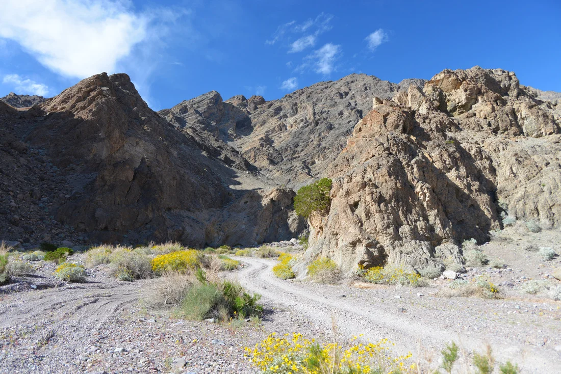
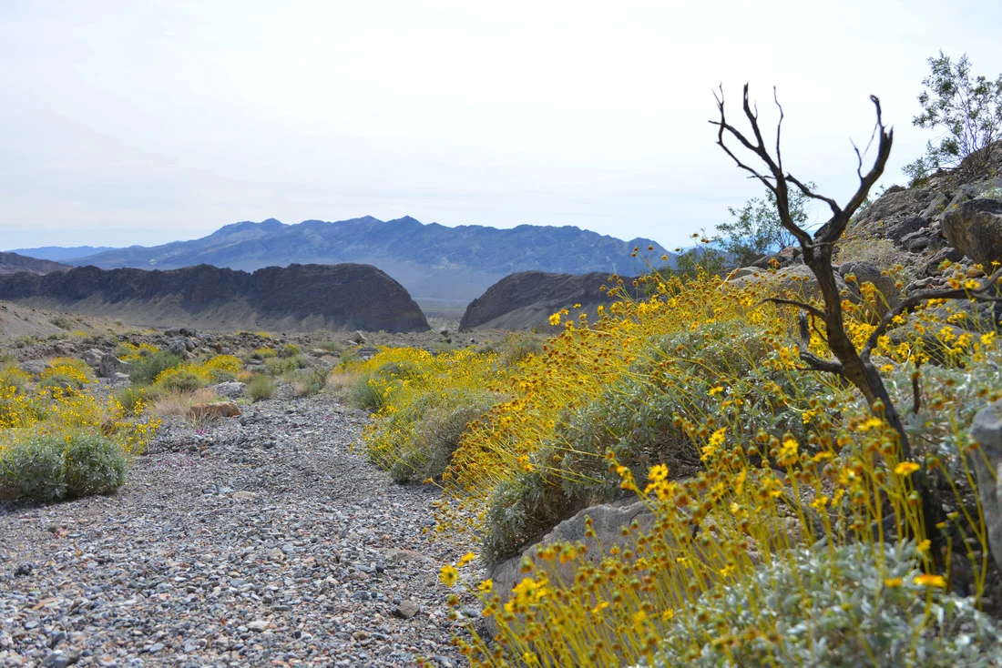
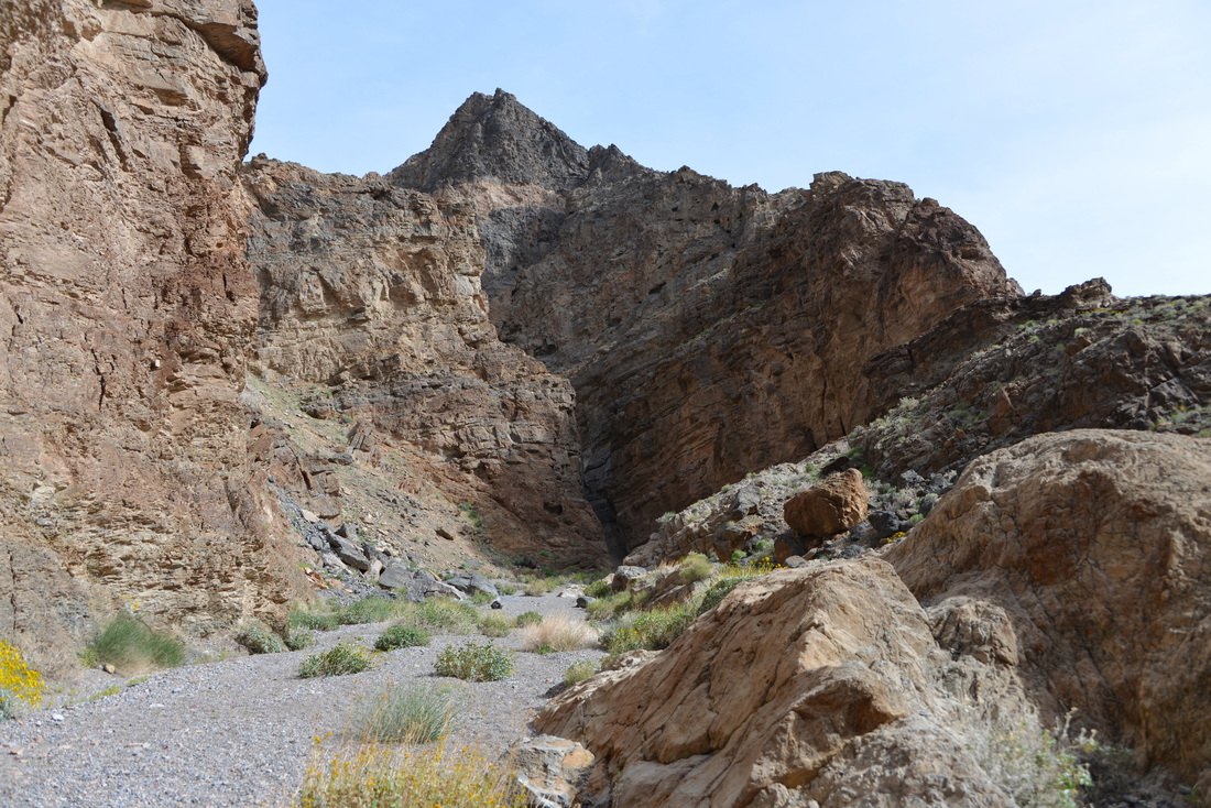
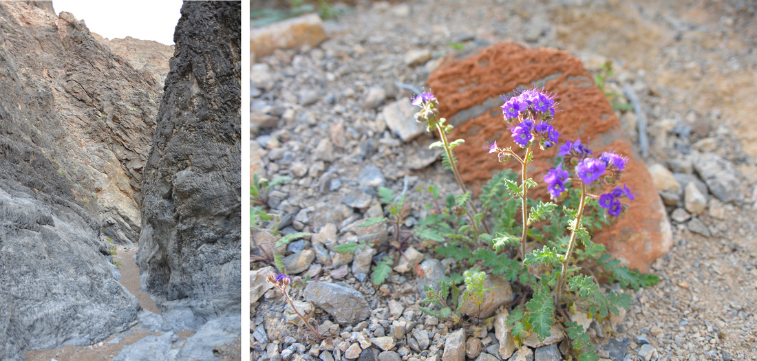
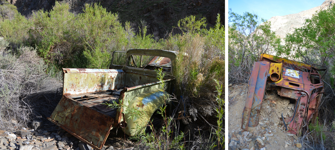
Following the obvious hikers trail from the parking lot we were immediately introduced to the unusual lushness of Surprise Canyon. Passing through surprisingly dense and vibrant vegetation around the running stream, we climbed through the remnants of an old mill and started bushwhacking up through the wash. There is a semblance of a hikers trail that is occasionally trimmed to make walking easier, but we quickly found ourselves stooping and pushing through the brush as we followed the rough trail. Old equipment and trucks are scattered up the canyon, likely washed down by the flash floods that ended mining at Panamint City in the 1980s, and route finding is made substantially more difficult by false paths that lead through twisted thickets or dead end all together. Despite these challenges we made good time and soon found ourselves climbing over the waterfalls and cascades that the lower canyon is known for. We had heard that the easiest path here is through the waterfalls, but we found the going fairly easy along the sides and only a few small stretches necessitated mild scrambling over the slick rock to bypass the falls, none of which was anything close to the difficulty of the scrambling we had done in Slit Canyon a few days prior. Amazingly, after the road through the lower canyon was washed out by flash floods it remained open to vehicular traffic for several years, with adventurous off road drivers winching their jeeps over the falls and up the canyon. Thankfully the "road" was closed in 2001 and the riparian area has regenerated and is now one of the most unique areas around Death Valley.


After emerging from the falls unexpectedly dry, we followed the "trail" back into a winding path of thickets, brush and horsetail with numerous possible route choices, not all of which proved to be the easiest alternative. After working our way up canyon for a couple hours the thick riparian vegetation began to give way to a scrubby desert canyon ecosystem. Here the trail began to work its way around the thicker brush along the sides of the canyon, and after several scrambles along the canyon wall and one minor incident involving a hand hold Ashley tried to use that was already occupied by an unaccommodating cactus, we were starting to think about lunch and wondering how far we had to go. Not having any good idea what to expect through the canyon, we made a guess of our location on the map and decided to continue on to see if we were as close to the city as we thought.
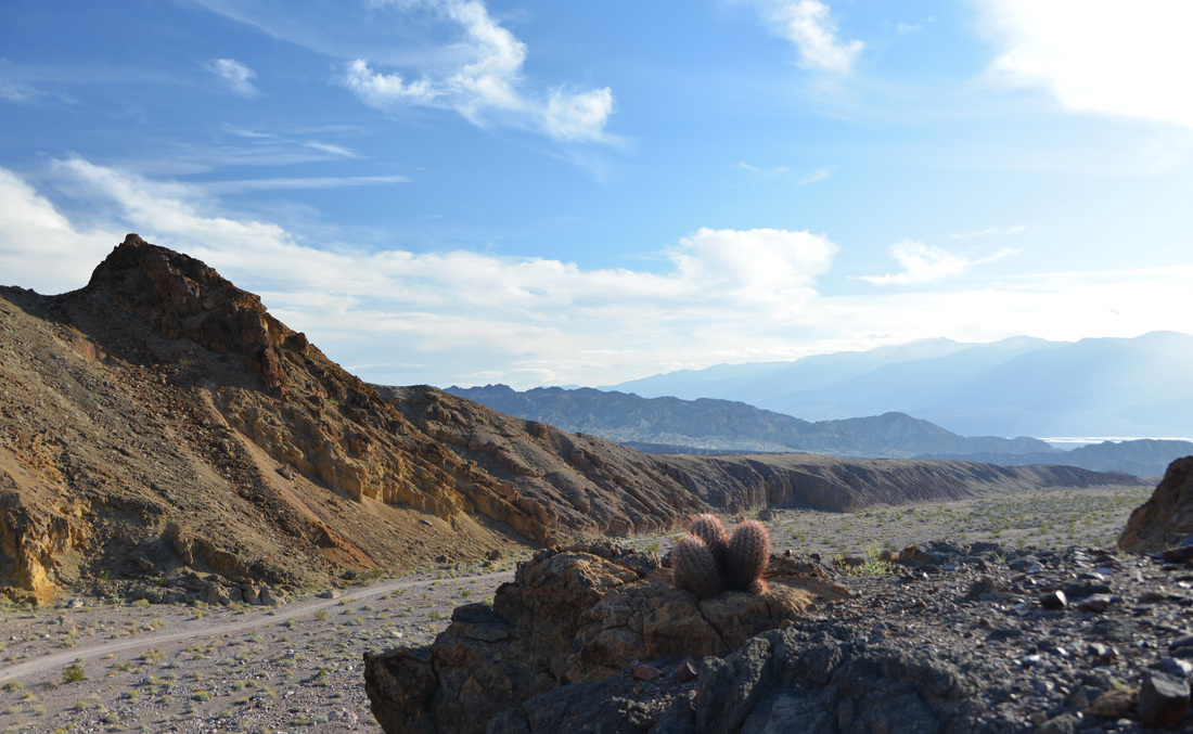
We were not. Not even close. After entering a second stretch of thick vegetation and walking through the running creek we realized we had just passed through Brewery Spring. With a good handle on our position and the knowledge of how far we had yet to go, we took a break in the shade of the towering canyon walls and dove into our sandwiches. Refreshed from a nice lunch break, we continued on up the canyon and soon found ourselves in the transitional zone between the dry desert canyon and high desert juniper forests. The trail had begun to follow the remnants of the old road by this point and walking was much easier, although the exposure and lack of shade were increasing the discomfort of the hike. We began to pass parts of a backpacking group heading to the cabins of Panamint City, each of whom inquired if we had passed a certain member of their party with a cowboy hat. Informing them that we had seen this individual struggling up the canyon, we learned that they thought he might have turned back by then, and that his pack was heavy due to his load of "cigarettes and energy drinks."
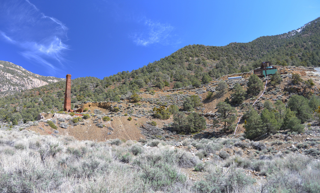
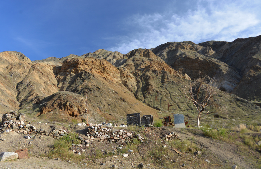
Although we had not encountered the seemingly vertical grades and blistering heat warned about in some write-ups on the hike, the terrain and sun of the upper canyon were beginning to take their toll. It was with relief that the smokestack of the mill at Panamint City was pointed out to us as we passed the lead group of backpackers, and with a landmark to shoot for we soon entered the ruins of the upper end of Panamint City and found a place to rest in the shade of the old mill building. Grateful to have finally reached our destination, we relieved ourselves of our packs, had a snack, and relaxed before spending some time exploring the ruins of the mines.


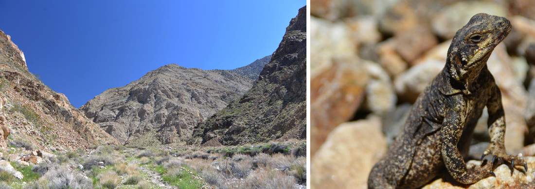


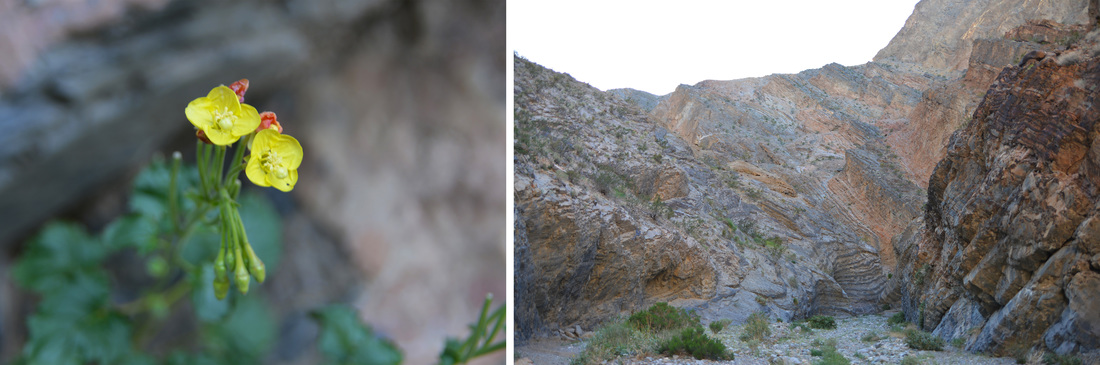
The feisty, unaccommodating cactus that Ashley discovered.


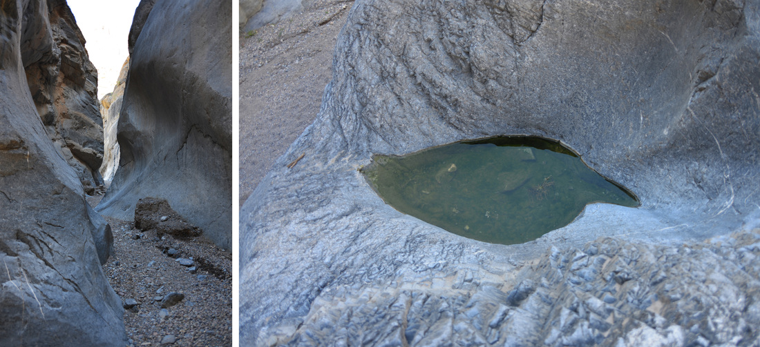
Yep, that creek in the left picture is the "trail." Supposedly that is known as the "tunnel of love" as it passes through brewery spring (right).


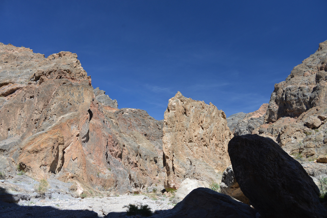
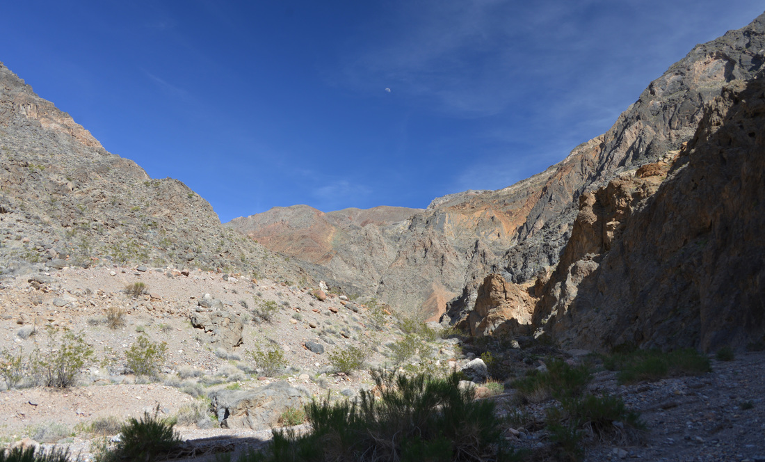
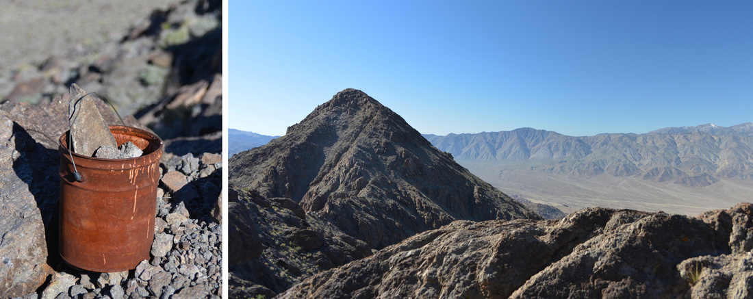
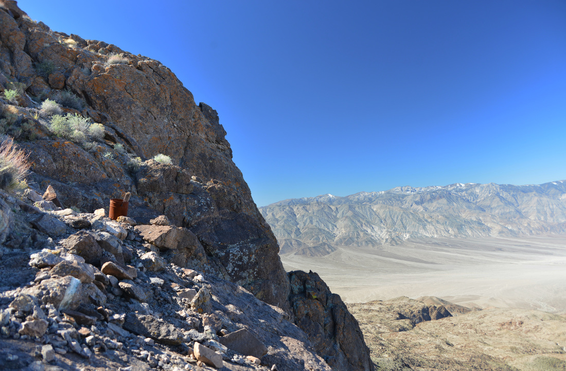
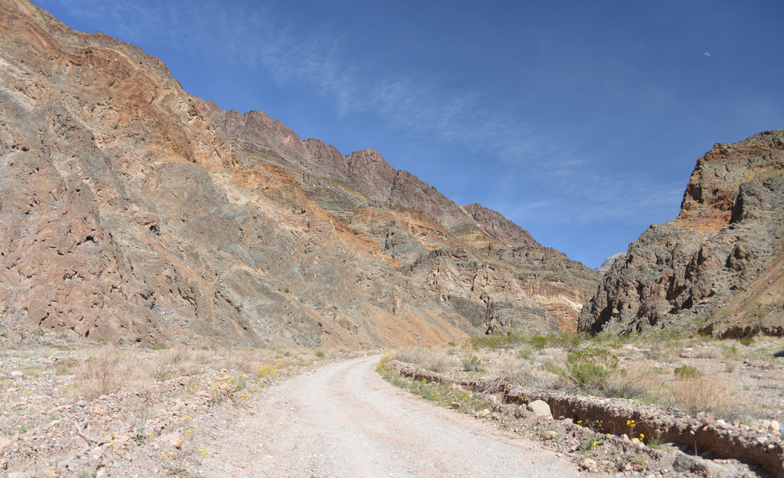
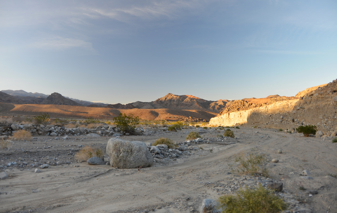
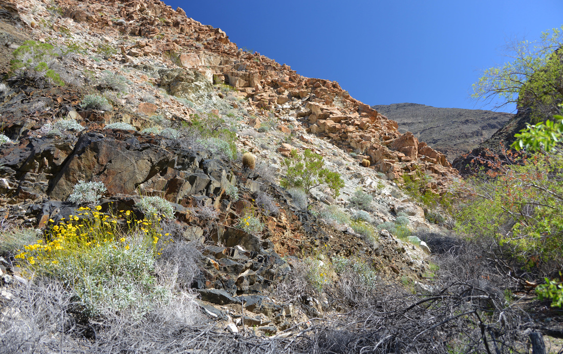
If you look closely, you can see the smokestack on the right side of the canyon bottom, tantalizingly close but not getting bigger quickly...

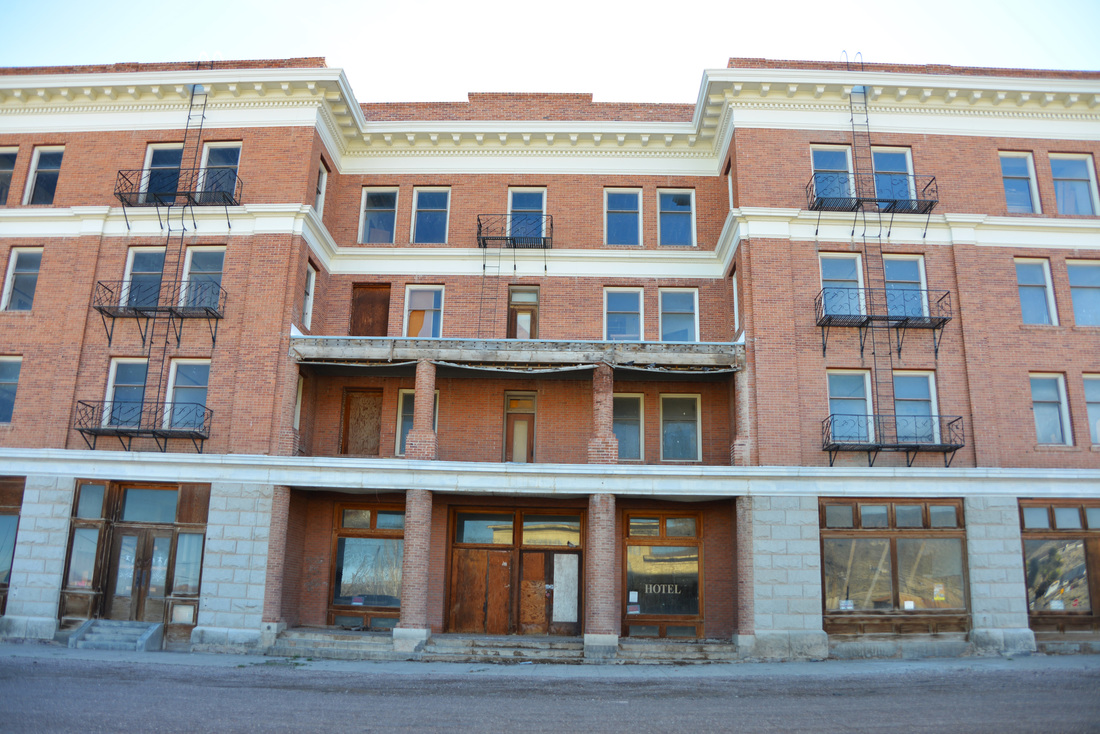
Panamint City was founded by several bandits who discovered silver while hiding out in the area and convinced a Nevada senator to grant them amnesty in exchange for the opportunity to buy the claim. At its peak the city had a population of over 2,000 people and a 1.5 mile long main street lined with dozens of saloons, a bank, brewery, post office, and the city's own newspaper. Panamint City had a rough reputation and was once called the toughest, rawest, most hard-boiled little hell hole that ever passed for a civilized town. Even Wells Fargo refused to open an express office in the town, and the founding bandits' plans to steal the ore as it left town was thwarted only by the owners' clever decision to cast the ore in "cannon balls" to big to be carried by a single horse and rider.
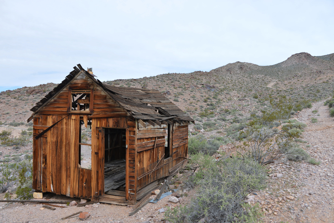
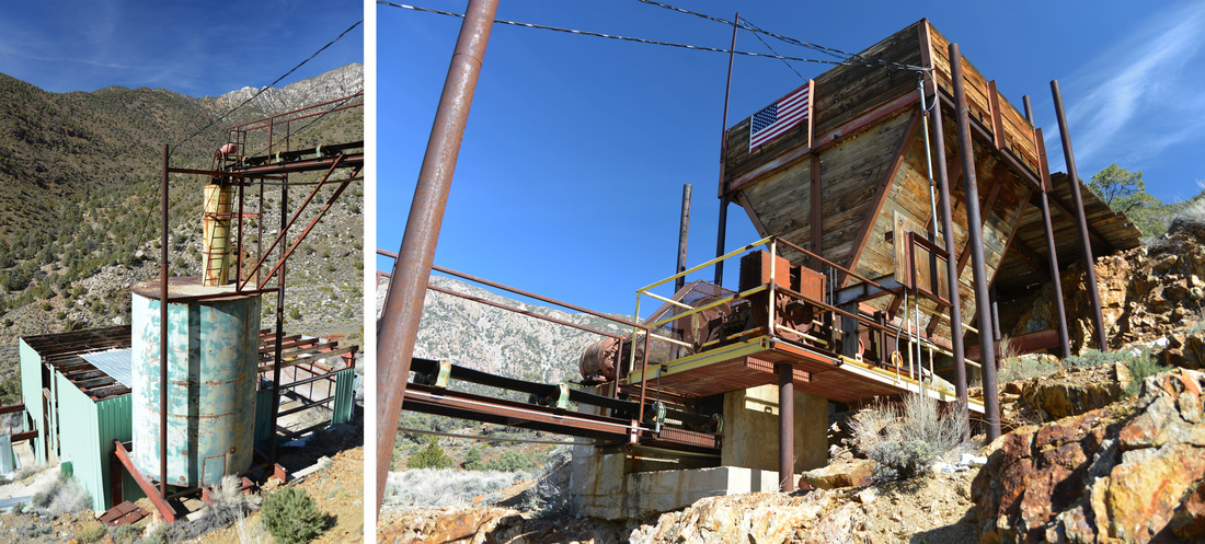
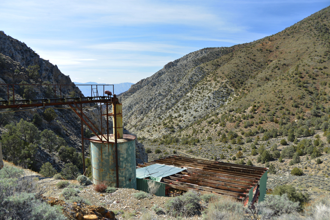
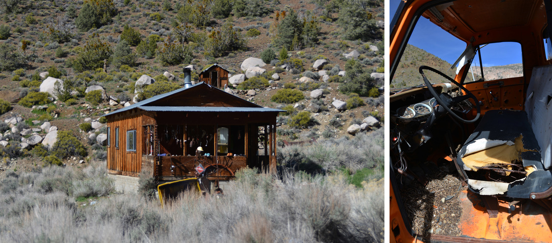
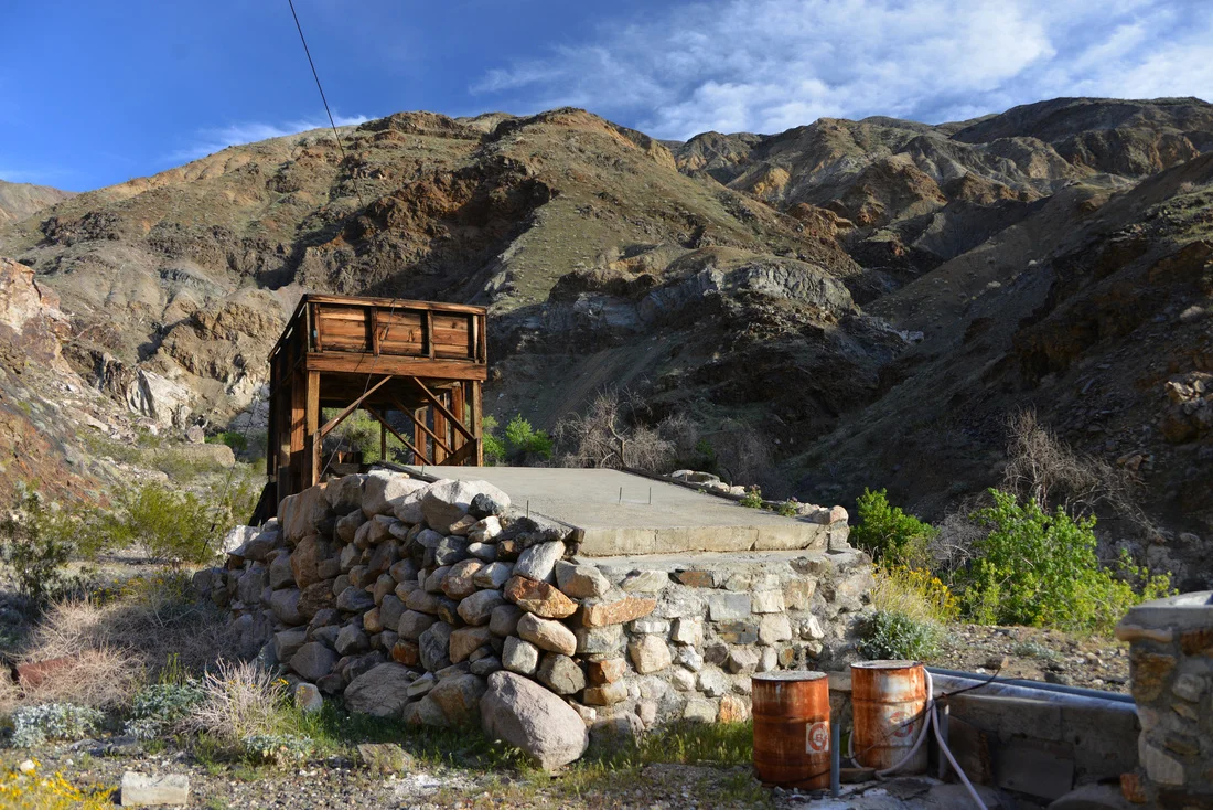
We did not explore the remaining cabins much as the backpacking party had reached the town and were setting up shop in the mouse riddled cabins that are "maintained" and used by backpackers. Shockingly, the faucets even reportedly work in some of the cabins, although while we were there resting one backpacker found out otherwise and broadcast the news through the valley with a mighty holler... Wanting to stay away from the noisy party, we checked out the remnants of the old mill before climbing farther up the hill to the newer processing building decaying on the hillside above the city. This new mill dates from the late 1970s or 1980s and sports surprisingly good looking equipment and electricity. Although the mine was not extensively worked after the flash floods in 1983, some of the equipment looked operational and in amazing condition. The sheet metal of the building was falling apart, but much of the equipment appeared dirty but functional. Rubber belts without any obvious major decay were looped on the equipment, modern water valves poked out from the pipes, an American flag free of tatters was attached to the ore bin, the PVC pipes sported an impressively new looking coat of white paint, and some of the equipment and the ore bin still contained unprocessed ore. These were by far the eeriest ruins we explored on the trip, the modern machinery combined with the bright paint and new fixtures made the place look like it could have been abandoned the week before. Rather someone has done a little work on the mine recently or not, it certainly appears that it is a possibility, making the place feel only semi-abandoned. I can only imagine what the ruins of a modern disaster such as Chernobyl must feel like, but this mine gave a good taste of what it feels like to be in a place where lives were dropped at a moments notice.


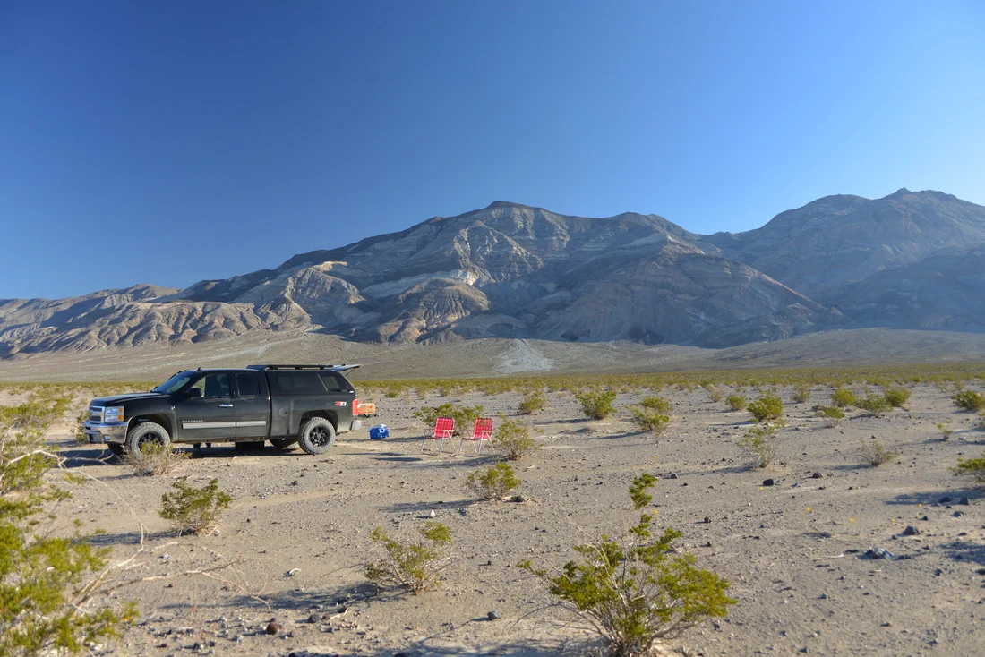
With eerie feelings still lingering, we set off back down the canyon as the afternoon wore on towards evening. The hike down Surprise Canyon was pleasant and much quicker than our trek up to the ruins. After working our way though the thickets of Brewery Spring and Limekiln Spring we descended the water falls we had climbed in the morning and returned to the bottom of the canyon. After a few detours on deceptively good looking trails that took us to dead ends, we returned to the Chris Wicht camp and soon were pulling the lawn chairs out of the truck to relax in the shade as the late afternoon sun crept ever closer to the ridge tops. After freeing our feet from the hiking boots and enjoying a refreshing face wash, we returned to Panamint Springs where we enjoyed a well deserved pizza on the porch before returning to Lake Hill Road to make our last camp in Death Valley. Without a doubt, Surprise Canyon lived up to our expectations and was maybe the most exciting hike of the trip. It is certainly a strenuous hike, especially if done in a single day as we did, but it did not live up to the warnings of a living hell that I had read online. Maybe it is my experience climbing mountains, but I found the roughly 11 mile hike to be quite doable and even enjoyable as a day excursion. That being said, we were the only group we saw that day who accomplished the trip as a day hike, so that may be saying something...


Day 8
The return drive. Those three words that we had been avoiding the last few days were now no longer avoidable. Although we joked about setting up shop in an old mining cabin somewhere, we knew we must start the long journey back towards Montana and "real life." However, we were not beyond some final procrastination, so we set out to squeeze some last adventure into the morning before hitting the road. Our first stop after a breakfast of delicious pancakes was Darwin Falls. This is one of the most popular walks around Panamint Springs due to its short length and the allure of a waterfall at the end, a definite rarity in this desert. After finding a place to park the truck, we started up the canyon, passing groups of tourists obviously not out for a day hike. Following the sketchy looking pipeline that delivers water to the development at Panamint Springs, we soon found ourselves entering thick riparian vegetation with cascading rivulets and scummy pools scattered along the canyon bottom. After Ashley took a minor detour up the side of the canyon, we arrived at Darwin Falls and admired its beauty with the rest of the tourists hanging out in the cool shade around the pool. The canyon of Darwin Falls continues farther into the mountains with numerous more waterfalls reportedly scattered along its length. This part of the canyon is much harder to get to though, and as we did not have much time to linger its exploration would have to wait.
After leaving the increasing crowds at the falls, we turned back west over Towne Pass to Stovepipe Wells where we took one more detour to Mosaic Canyon. Mosaic Canyon is another popular hiking destination, a fact quite evident by the number of cars squeezed into the parking lot. We spent an hour or so wandering up through the shallow canyon, admiring the slick rock chutes and conglomerate mosaic walls that the canyon is named after. The canyon was beautiful, but the crowds were becoming a little aggravating after spending so much time away from civilization and the afternoon was rapidly approaching. Reluctantly we returned to the car, made a quick lunch stop, and started up the highway for good, leaving the memories and experiences of Death Valley in the rear view mirror.
Our return journey took us north from Tonopah past Round Mountain and Eureka, eventually depositing us back on the freeway at Carlin. After our final camp dinner at a rest area somewhere in Nevada, we rolled into Elko after dark and got a motel for the night, tired after a long day of exploration and driving. We rose with dawn of the ninth and final day of our adventure, and after a quick stop for coffee and a pastry we pulled onto the freeway and headed the truck towards Idaho and Montana. The last day of driving followed the same route as we had taken on the way down, but the lack of wind made it much more enjoyable. Idaho eventually passed under our tires and afternoon saw us crossing the state line back into Montana. By evening we were pulling into the driveway, tired and happy to be home, but sad to be leaving such a wonderful adventure in the past.
Death Valley was a wonderful experience. In a year where things just aren't going well, nothing heals the soul like getting out in nature and exploring the world. We left with a greater appreciation for the area, its narrow and craggy canyons, its flat and seemingly endless basins, its dry searing heat, and its lush wildflowers and scattered streams. When I bought a new truck last year and started fitting it out for overland travel, this is exactly what I was hoping for. The ability to get out and enjoy the world, to explore places and see sights that many people will never experience. Although Death Valley may be a distant memory by now, it has left a lasting impression on both Ashley and I, and we look forward to writing the next chapter in the adventure soon!