Climbing 30 peaks to celebrate 30 trips around the sun. It was a random idea that came to mind weeks after my 30th birthday in February. I have heard of other people taking on similar endeavors to celebrate major birthdays, but it was something I had never really thought of doing myself. I have never really been a “list person”, so I had never really given it serious consideration.
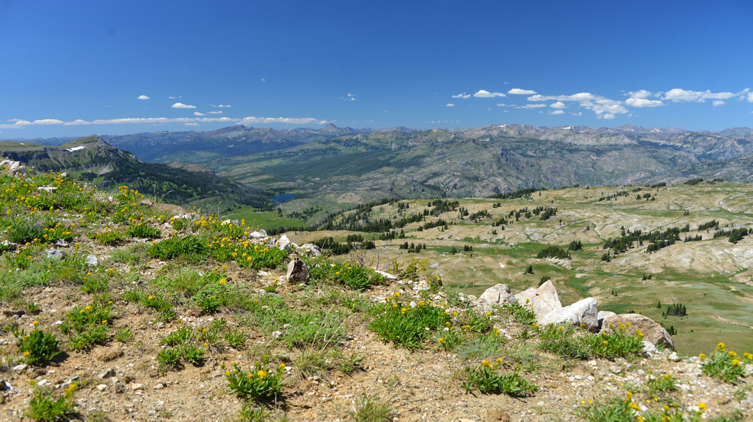
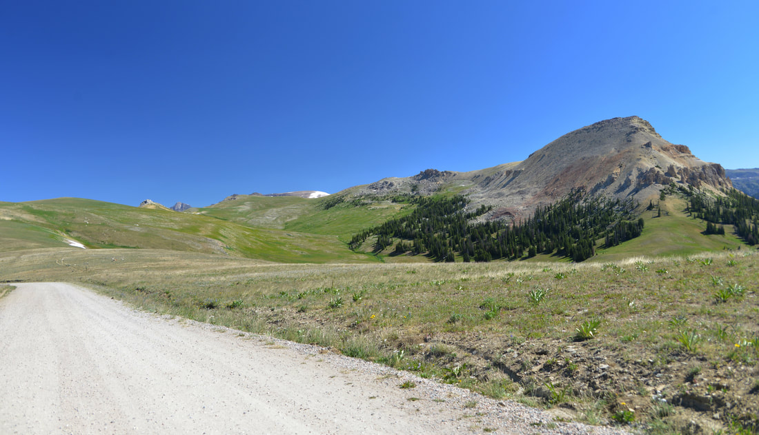
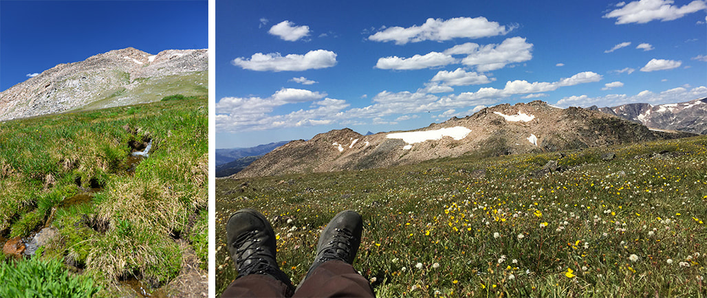
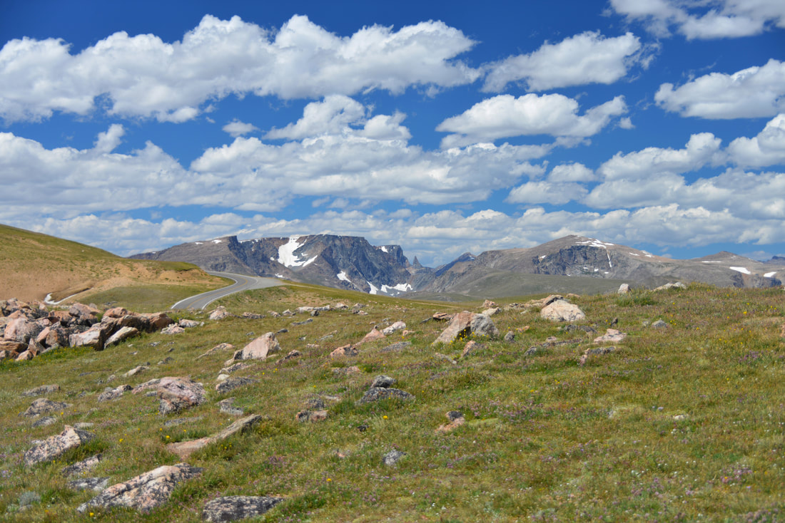
It is no secret that I love hiking, skiing, and climbing mountains. My winters have always been spent primarily on skis, but the last few years I have transitioned almost completely to backcountry skiing. The depths of winter are usually accompanied by high avalanche danger and poor peak bagging conditions, but early spring has quickly grown into one of my favorite parts of the year. The snow pack stabilizes, temperatures rise, days grow longer, and you can quickly cover terrain on skis that would be impassible during the summer - all ingredients for some fun summit days! Some of my favorite summits of the past few years have been during the late winter and early spring, including Gallatin Peak, Imp Peak, Telescope Peak, and Emigrant Peak to name a few.
Ridge lines and mountain tops rising above the sea of clouds around Emigrant Peak, Spring of 2018.

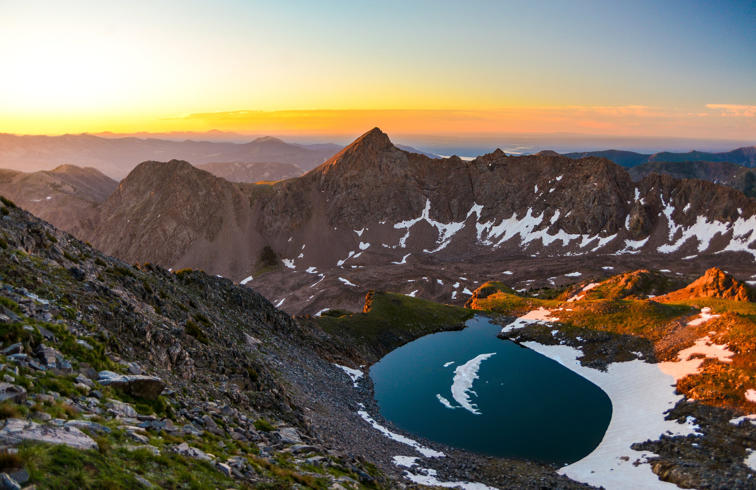
Imp Peak rising above the Taylor Hilgard wilderness, Spring of 2019.

George and Dan enjoying the view of the incoming storm from the top of Imp Peak, Spring of 2019.
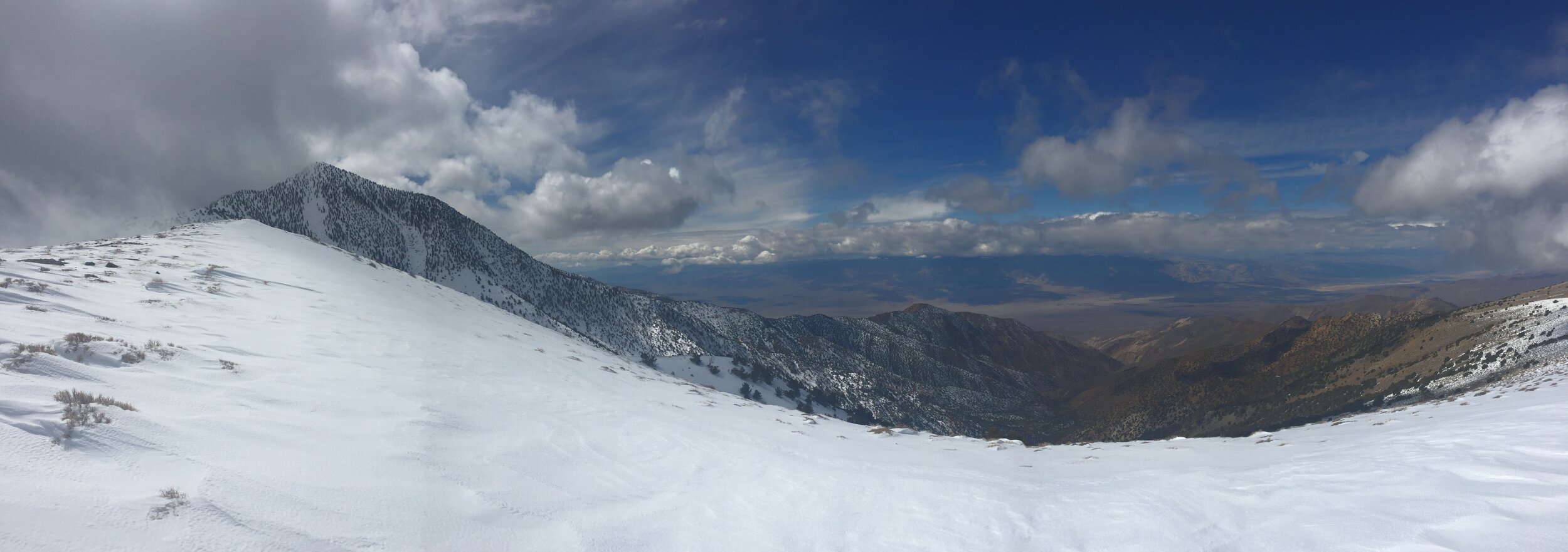
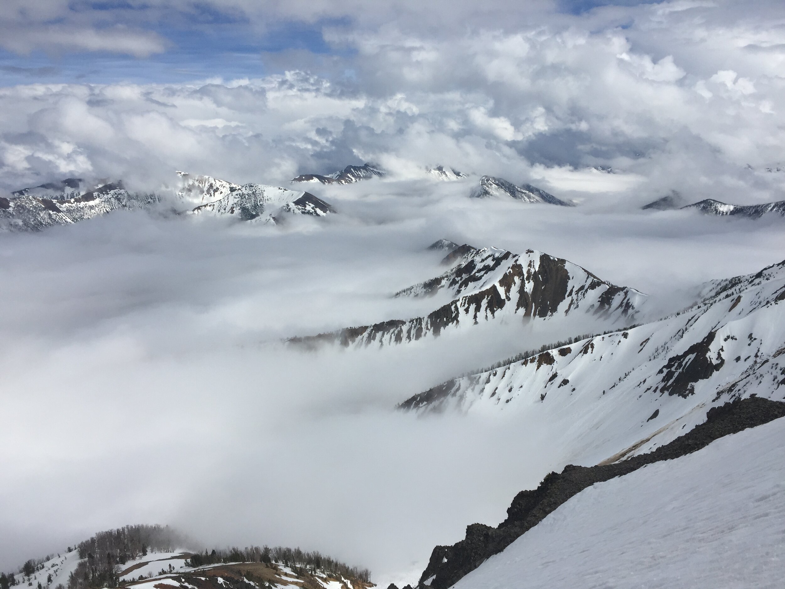
Telescope Peak towering over the desert of Death Valley National Park before the clouds and winter weather rolled in for good, Spring of 2020.

Yours truly enjoying the view (or lack there of) from the top of Telescope Peak, Spring of 2020.
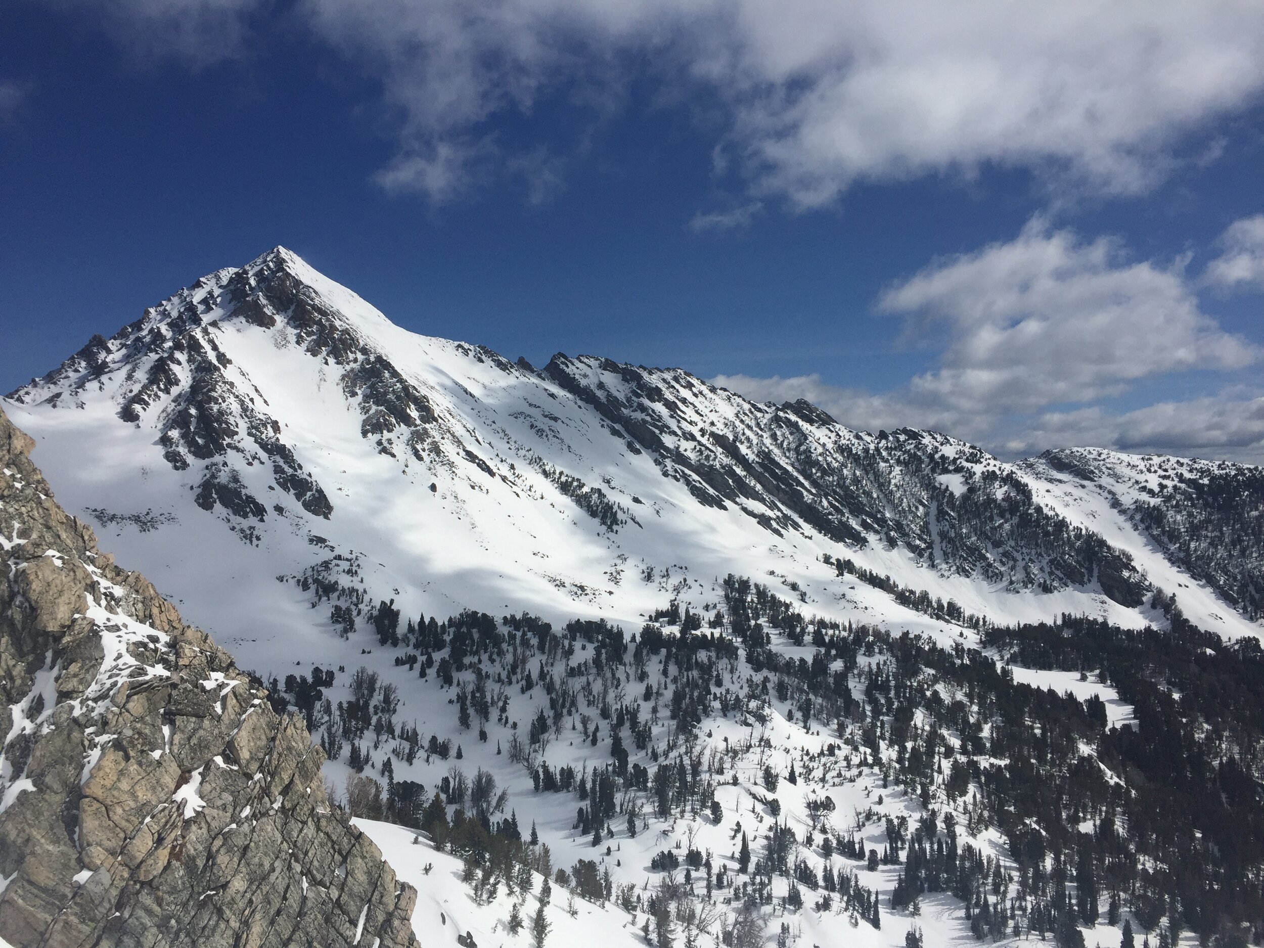
Gallatin Peak standing tall on a gorgeous sunny day, Spring of 2020.
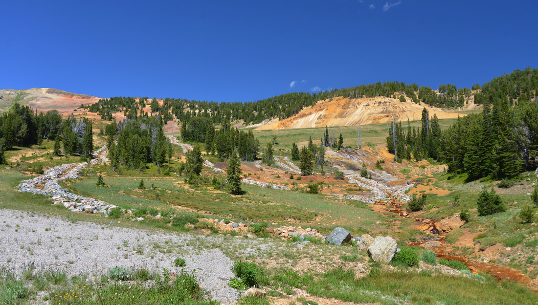
Come summertime, hiking has been the go to activity for as long as I can remember. Ever since I was a child my parents took me hiking in the many wild areas around Bozeman. I have picked up mountain biking since college, but hiking and mountain climbing is still the go-to summer activity - especially if there is a nice mountain lake to jump in at the end of the hike! Summer also brings warmer weather and drier conditions which is perfect for backpacking, expanding the options for mountain summits into a never ending sea of wilderness, inaccessible by a day hike. There is something magical about the simplicity of backpacking - freeing yourself from the distractions of every day life while camping in the shadow of the peak you want to climb. Some of my favorite summer peaks have come from these backpacking trips, including Hilgard Peak, Mount Cowen, Electric Peak, and Tumble Mountain to name a few.
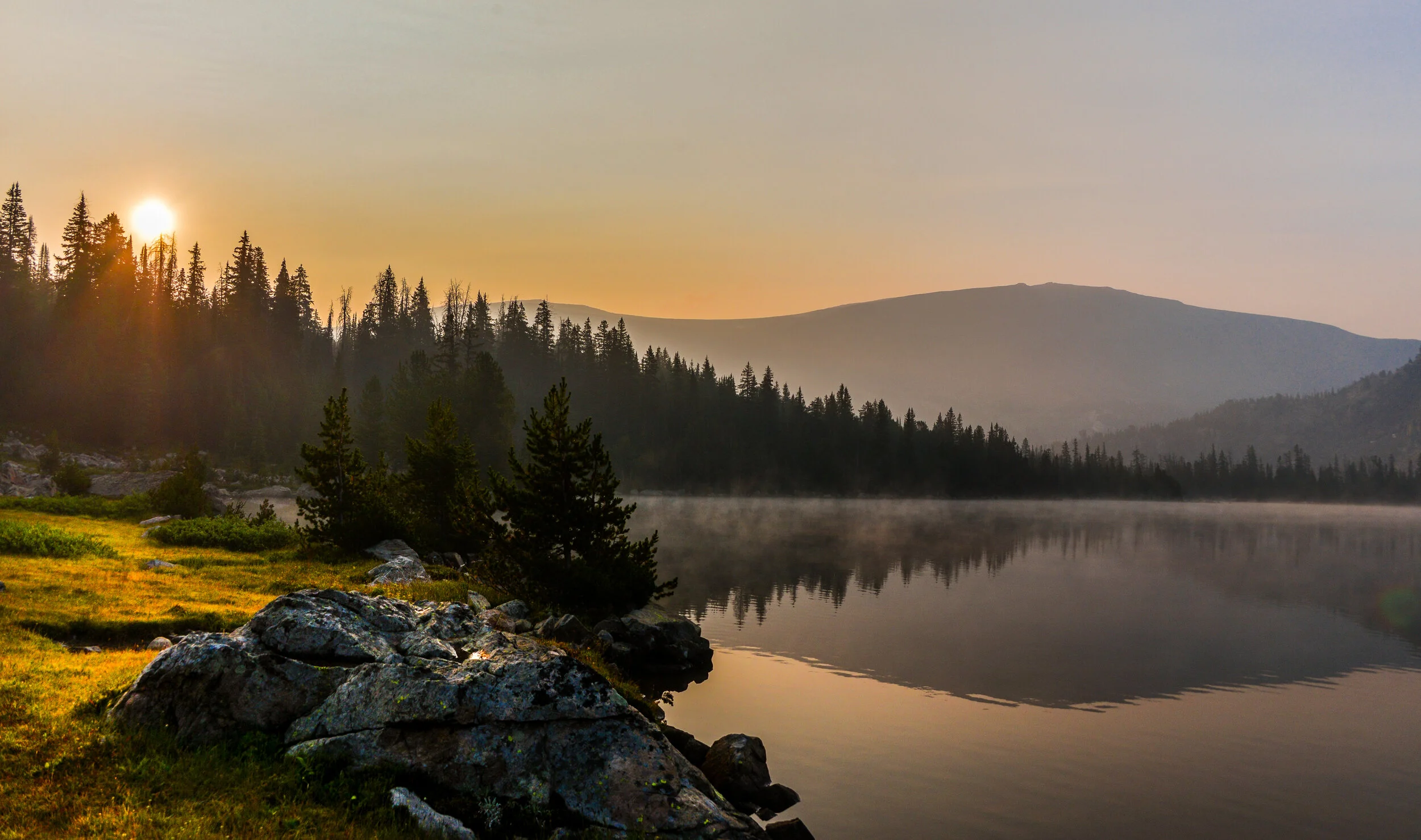
Breathtaking sunrise from the side of Hilgard Peak, Summer of 2018.

A rainbow only comes after the rain! Below Hilgard Peak, Summer of 2018.
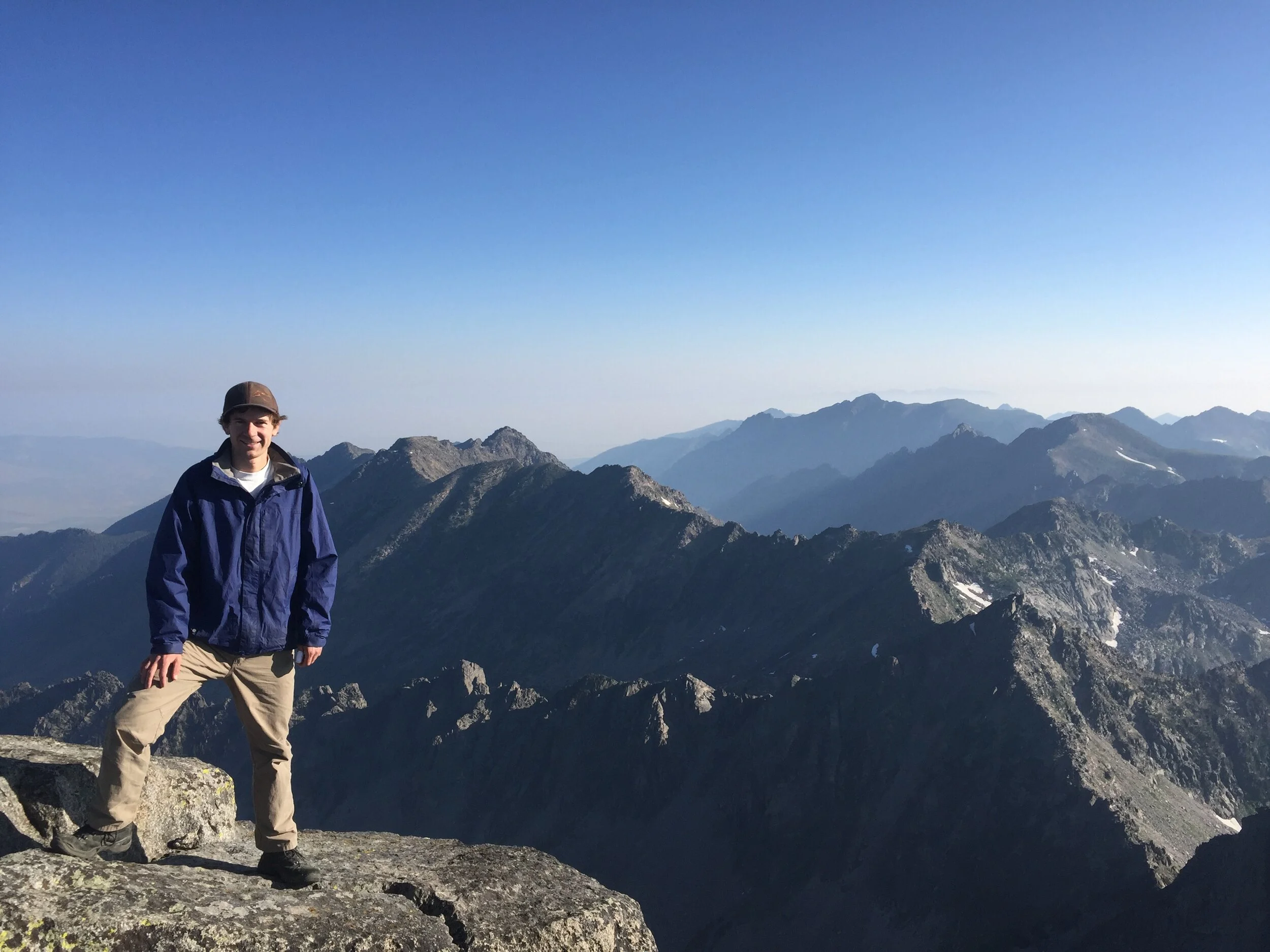
Early morning on top of Mount Cowen, summer of 2017.

Sunrise light playing across the side of Electric Peak, late summer of 2018.
Sunrise on the Lake Plateau below Tumble Mountain and Chalice Peak, summer of 2018.

View from the summit of Tumble Mountain, summer of 2018.
Although I have been climbing some fun and challenging peaks over the past years, once I started thinking over my trips the last few summers the more I realized the complacency that has sneaked into my summer adventures. Although I haven’t been lazy by any stretch of the imagination, I have not been diligent in planning my trips for successful summits. Some trips I have simply chosen hikes with no summit objectives - there are many hikes that don’t involve peaks that are just as rewarding! However, many days when I have set out with a summit in mind I have been lazy in execution, often getting too late of a start in order to sleep in a little more, or to have a relaxing breakfast. These days have always turned into enjoyable hikes, but have also meant that I have not summited some peaks that I would like to due to poor planning and execution.
That brings us back to the idea: 30 peaks for 30 years. Although I had initially dismissed it, the more I thought about it the more fun it sounded. Climbing 30 summits this year may not be an outlandish objective for me right now, but it would give me a goal to work towards, and some extra motivation to get out of bed, out the door, and into the mountains. Additionally, it would hopefully be a good way to start chipping away at the ever-growing wish list of summits.
Thus, the 30 Peaks Project was born. As I write this entry, I currently stand 2 weeks shy of 4 months into the project, and have added 12 peaks to the list. However, those are stories for another day. For now, I will end with the rules I have set for myself:
A peak will count towards the list if it is a named summit on a USGS topographic map. I will also count an unnamed peak if its a locally known/named summit, or if it is a distinct summit with an elevation comparable to nearby peaks.
False summits do not count, I have to reach the true summit or it doesn’t go on the list.
Summits must occur between February 28, 2020 and February 28, 2021.
Summits can be reached via ski, foot, bike, etc… As long as I get to the true summit it counts.
Only distinct summits count towards the list, multiple visits to the same summit only count once.
And with that, the 30 Peaks Project is officially underway. I hope my journey will bring some excitement to all of you reading this, and maybe provide a little extra motivation to get out and climb your own summits, whatever they may be!