The small parking area that we pulled into late morning on a sunny, July Friday held little resemblance to the snowy field that we had traversed less than a year ago. A few months ago Carl, Ashley, and I had traveled this same path up Beaver Creek in the depths of winter, our tracks covered by softly falling snow and the darkness of night as we battled sickness and exhaustion on the trek to the cabin. Now, however, this parking lot no more than a quarter of a mile from the cabin was only the starting point. This time, our destination was the top of Hilgard Peak.
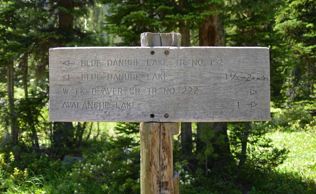
The 11,316 foot summit of Hilgard Peak is the highest point in the Madison Range and the highest peak in Montana outside of the towering Beartooth Mountains. The rocky summit is remote and requires a 5-6 mile approach by trail to Avalanche Lake followed by an off-trail journey over a sharp saddle and across a rocky basin to the foot of the mountain. Traffic in this remote part of the Lee Metcalf Wilderness is light, and you are more likely to see a grizzly bear or mountain goat traversing the hillsides than another climber. I had been eyeing the peak for a year, so when Austin inquired as to my interest in joining him on a mission to climb the peak, the answer was a no-brainer. Ashley had some misgivings about the nature of the climb, but a little encouragement soon had her on board. Unfortunately Carl had to work and the climb didn't sound friendly to the four legged friends, so the party that set out from the truck consisted of Austin, Ashley and I.
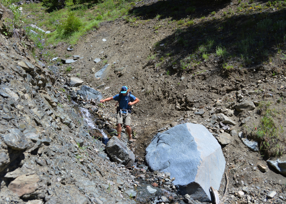
Right out of the trail head we dropped down several switchbacks (disappointing, considering we knew we just had to gain the elevation back) to cross the main fork of Beaver Creek. The first few miles of trail took us along a gently climbing contour above the west fork of Beaver Creek, traversing steep, eroded hillsides and washed out gullies. A sign at the trail head warned of bad trail conditions due to washouts, and we soon were introduced to these obstacles. Several side gullies into the main creek have experienced significant erosion in the last couple years, and the old trail is completely destroyed in several locations. Fortunately, these washouts only briefly slowed our pace and before long we found ourselves on gentler slopes with the creek closing the distance on our left. A spectacular cascade perfectly placed for optimal viewing from the trail and a lunch break when we got to the creek crossing delayed us a little, but mid afternoon found us climbing onto the shores of Avalanche lake. We dropped our packs at a campsite by the lake shore, skipped a few rocks (or at least attempted to find rocks of the correct shape to skip), and rested up for the climb over the ridge to our campsite below Hilgard Peak.
We would have loved to linger at the lake shore in relaxation, but the mosquitoes were providing motivation to get moving, and we still had the hardest part of the day ahead. We worked our way deeper into the basin around the west shore of the lake, eventually wrapping back to the north around some marshy pot hole lakes towards the grassy slope we had identified as the easiest climb to the ridge line. The first part of the climb consisted of a set of small but steep slopes into the upper basin directly below our targeted saddle. Unfortunately, this part of the climb also consisted of ravenous clouds of mosquitoes. The marshy pot hole lakes we had been walking by were perfect breeding grounds and the clouds of blood suckers following us seemed to grow by the second. The air was mercilessly still and heavy, and the swarms of mosquitoes descended on us like a plague as we climbed through the boulders. Ashley's hat was speckled with the villains any time we stopped, and seemingly the only way to keep free of the pests was to keep every part of the body moving at all times. Any onlookers probably would have thought us possessed, but the flailing kept most of our blood inside our bodies, and we finally reached the base of the ridge line, anxious to get up into the alpine where the weather is less friendly to insects of the blood sucking variety.
The climb to the crest of the ridge was steep, but the farther we got the more mosquitoes were left in our wake. The weather was also beginning to play more into our favor, with the clouds slowly turning a shade of grey and a cool breeze picking up as we gained elevation. Upon reaching the crest of the ridge we were greeted by low rumblings of thunder, a few sprinkles of rain, and our first views of Hilgard Peak. The basin stretched out below us was every bit as spectacular as I had imagined, and the jagged top of the peak looming at the upper end of the rocky valley was even more imposing than I had been expecting. The descent into the basin was a steep and loose affair; with no trail to follow we picked and slipped our way through the loose rock and dirt. Our heavy packs provided a little added complication, but we were soon setting foot on the boulder fields at the bottom of the slope and hopping our way towards the mountain.
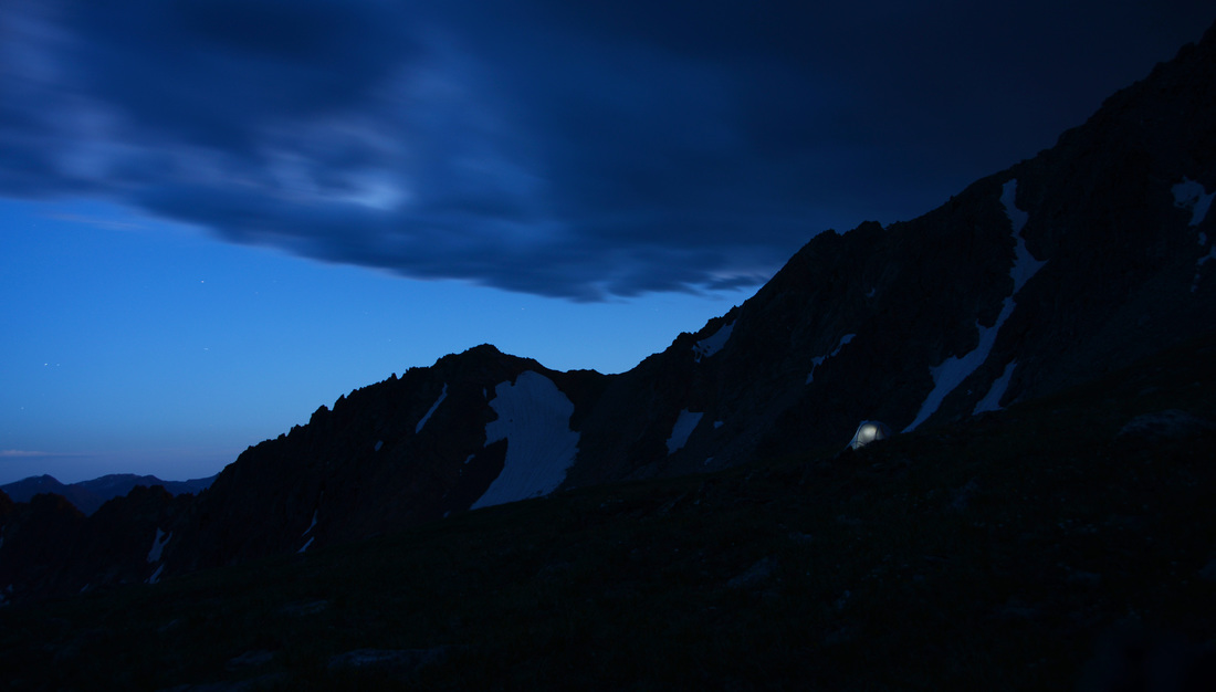
As we neared the final bench below the summit that was to be our camp for the night, the heaviest rain squall of the day set in. Cresting the final rim I dropped my pack, turned to the east, and was greeted by one of the most spectacular rainbows I have ever seen. The combination of rain over us and sun behind us with the illuminated alpine tundra, dark clouds, and the striking rainbow made for a special sight. When Austin and Ashley joined me moments later we were like kids in a candy store, awestruck by the show. Eventually the rainbow faded, the sun came out, and we set to work getting camp in shape, replenishing our water supply, and getting dinner cooking. We dined on backpacking pizzas in the shadow of Hilgard Peak before turning in for the night, tired after a long days hike and eager for the summit attempt early the coming morning.
We rose with the sun around 5:00 in the morning, grabbed a quick breakfast, lightened our packs, and started off towards the peak. The first stage consisted of a steep but stable climb from camp up to the east ridge of the summit where the real fun began. I had been expecting a little scrambling to get to the top, but the terrain we found ourselves facing was much more technical and exposed than I had anticipated. From the ridge, the obvious route was up the gaping mouth of the steep, narrow chute in front of us. Crisscrossing from side to side in an effort to stay on solid rock, we made our way up the chute to what turned out to be the crux of the climb. What would have been an easy climb under other circumstances was complicated by handfuls of loose dirt on every possible hand or foot hold, and our larger than desirable packs (Austin happened to have a little pack stashed in his big bag which made things much easier, but Ashley and I had our backpacking packs to contend with). Austin and I made it through the exposed section, but Ashley had gotten stuck on what had appeared to be an easier line that didn't pan out as planned. After making it back down into the chute with acrophobia kicking in from the exposed climbing, she made the hard decision to stay there and wait for Austin and I to summit.
With the group split up, Ashley got comfortable to enjoy the early morning while Austin and I continued up the final few hundred yards to the summit. The remaining portion of the climb proved to be much easier, with solid rock, grass, and multiple line choices to make things interesting. The last pitch to the summit was completed a few minutes after 7:00 and we dropped our packs to revel in the views and the serenity of the early morning. The top of the peak is just as striking as the views from below would suggest, with breathtaking scenery in every direction and equally breathtaking drops on all sides. The East and North sides of the peak are particularly steep, dropping thousands of feet vertically in near shear cliffs to the valleys below. Austin and I spent around a half hour taking in the views and enjoying the rewards of our climb before starting the descent to the valley below.
After finding a slightly easier route to avoid the chute that had been slightly problematic on the way up, we rejoined Ashley who had been enjoying good views of her own and returned to the saddle above camp. The scramble back to our tents was dispatched quickly and by 9:00 we were taking our boots off and getting the stove going for celebratory hot beverages. A little relaxation and exploration of the bench we were camped on filled the next couple hours before it was time to break camp and start the trek back to the truck. The hike back out of the basin was uneventful save for the steep climb back to the saddle above Avalanche Lake. We took turns scrambling and crawling up the steep, loose, dirt to avoid sending debris down on the others and eventually topped out on the saddle. After visiting with a hiker attempting the peak in one day, we bundled up more than the weather dictated to protect us from the coming hoards of mosquitoes and headed down towards the lake.
The gauntlet of mosquitoes was run with minimal losses and the hike out from Avalanche Lake was dispatched with easily. Before long the last few switchbacks up to the parking lot were conquered, packs were dropped, and we were breaking open chips, salsa, and beers while relaxing on the tailgate reminiscing over the adventure. It was a trip to remember and a good break from the stress of the last few months. Although short in duration, the memories from the expedition will be ones I will treasure for ever. Few trips of only two days have had so many postcard worthy moments, and sharing the experience with good friends never gets old. Hilgard was arguably the best trip of the summer, and it will be a hard one to top!


